
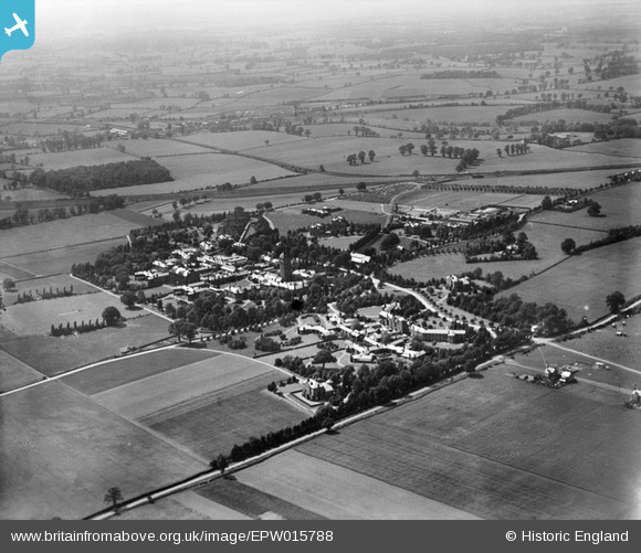
EPW015788 ENGLAND (1926). Napsbury Hospital, London Colney, from the east, 1926
© Hawlfraint cyfranwyr OpenStreetMap a thrwyddedwyd gan yr OpenStreetMap Foundation. 2026. Trwyddedir y gartograffeg fel CC BY-SA.
Delweddau cyfagos (2)
EPW015788

EAW003631

Manylion
| Pennawd | [EPW015788] Napsbury Hospital, London Colney, from the east, 1926 |
| Cyfeirnod | EPW015788 |
| Dyddiad | 9-June-1926 |
| Dolen | |
| Enw lle | LONDON COLNEY |
| Plwyf | LONDON COLNEY |
| Ardal | |
| Gwlad | ENGLAND |
| Dwyreiniad / Gogleddiad | 517207, 203917 |
| Hydred / Lledred | -0.30299919654521, 51.721254201081 |
| Cyfeirnod Grid Cenedlaethol | TL172039 |
Pinnau

John W |
Monday 13th of June 2016 05:17:05 PM | |
|
John W |
Monday 13th of June 2016 05:15:52 PM | |
|
John W |
Monday 13th of June 2016 05:14:45 PM | |
|
John W |
Monday 13th of June 2016 05:14:04 PM | |
|
John W |
Monday 13th of June 2016 05:12:19 PM | |
|
John W |
Monday 13th of June 2016 05:11:43 PM | |
|
John W |
Monday 13th of June 2016 05:11:12 PM |