
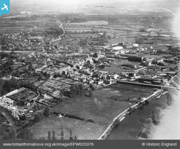
EPW015076 ENGLAND (1926). The town, Stourport-on-Severn, 1926. This image has been produced from a copy-negative affected by flare.
© Hawlfraint cyfranwyr OpenStreetMap a thrwyddedwyd gan yr OpenStreetMap Foundation. 2026. Trwyddedir y gartograffeg fel CC BY-SA.
Delweddau cyfagos (4)
EPW015076

EPW015079

EPW015082

EPW041762

Manylion
| Pennawd | [EPW015076] The town, Stourport-on-Severn, 1926. This image has been produced from a copy-negative affected by flare. |
| Cyfeirnod | EPW015076 |
| Dyddiad | 12-April-1926 |
| Dolen | |
| Enw lle | STOURPORT-ON-SEVERN |
| Plwyf | STOURPORT-ON-SEVERN |
| Ardal | |
| Gwlad | ENGLAND |
| Dwyreiniad / Gogleddiad | 380960, 271231 |
| Hydred / Lledred | -2.2794862220308, 52.338443929649 |
| Cyfeirnod Grid Cenedlaethol | SO810712 |
Pinnau
Byddwch y cyntaf i ychwanegu sylw at y ddelwedd hon!