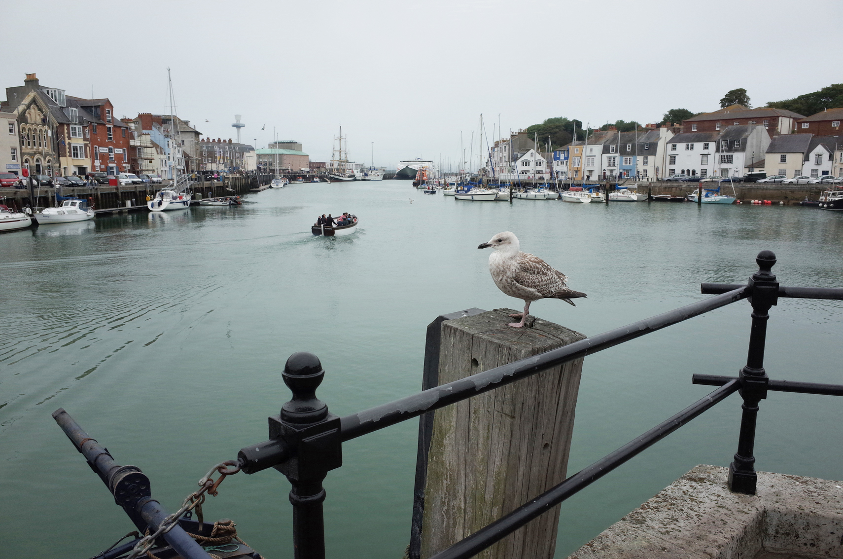
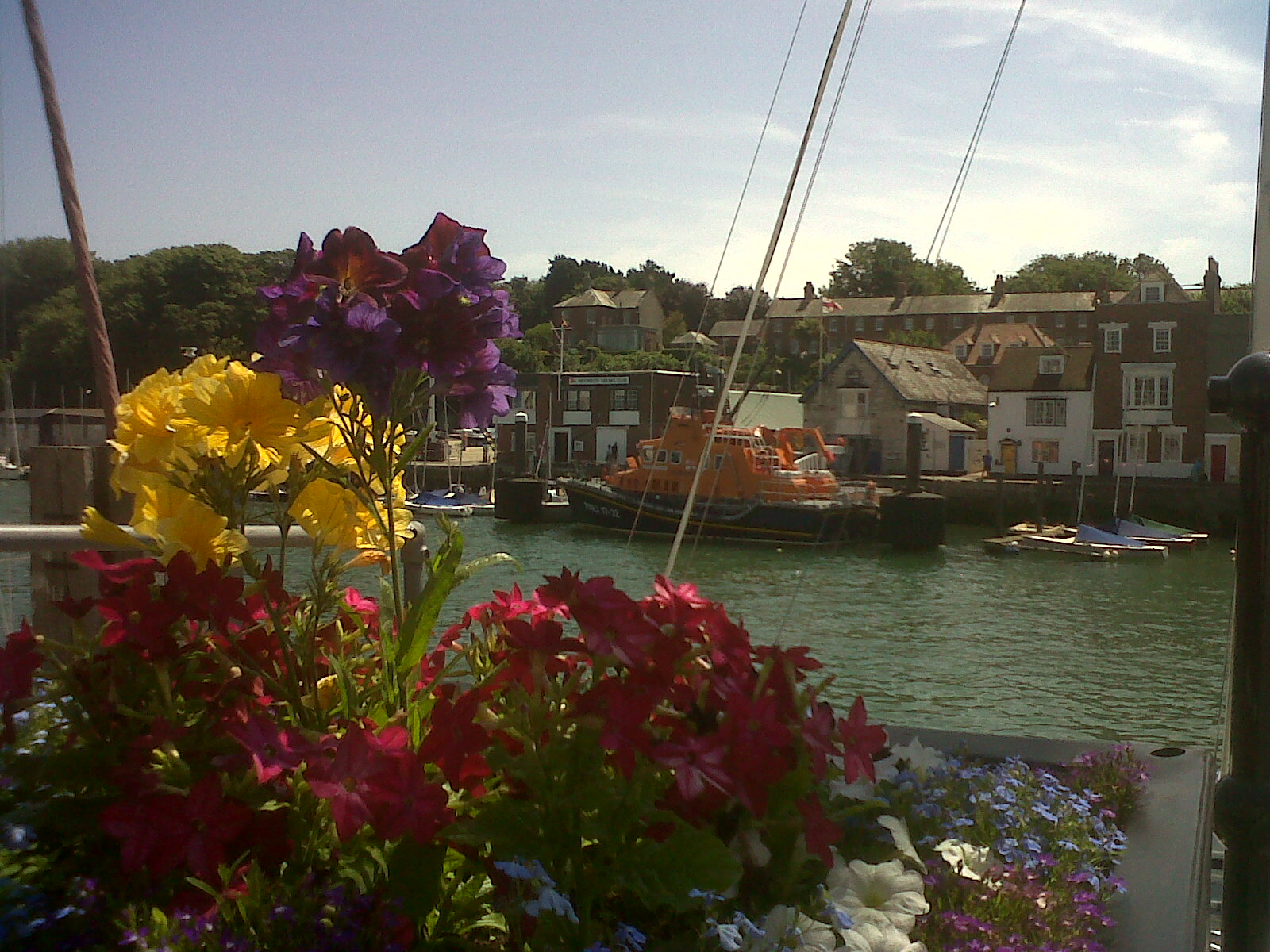
EPW013679 ENGLAND (1925). The harbour and Custom House Quay, Weymouth, 1925
© Hawlfraint cyfranwyr OpenStreetMap a thrwyddedwyd gan yr OpenStreetMap Foundation. 2026. Trwyddedir y gartograffeg fel CC BY-SA.
Delweddau cyfagos (10)
Manylion
| Pennawd | [EPW013679] The harbour and Custom House Quay, Weymouth, 1925 |
| Cyfeirnod | EPW013679 |
| Dyddiad | June-1925 |
| Dolen | |
| Enw lle | WEYMOUTH |
| Plwyf | |
| Ardal | |
| Gwlad | ENGLAND |
| Dwyreiniad / Gogleddiad | 368101, 78713 |
| Hydred / Lledred | -2.4508420273143, 50.606674454231 |
| Cyfeirnod Grid Cenedlaethol | SY681787 |
Pinnau

Alan McFaden |
Friday 19th of September 2014 12:44:31 PM | |

sixsticks |
Sunday 14th of September 2014 05:40:00 PM | |

sixsticks |
Sunday 14th of September 2014 05:38:01 PM | |

Class31 |
Saturday 2nd of March 2013 01:54:59 PM | |

Class31 |
Saturday 2nd of March 2013 01:41:43 PM | |

MB |
Friday 11th of January 2013 03:47:12 PM | |

MB |
Friday 11th of January 2013 03:46:49 PM | |

Class31 |
Monday 1st of October 2012 05:17:05 PM | |

Class31 |
Monday 1st of October 2012 03:36:50 PM | |

Class31 |
Monday 1st of October 2012 03:36:18 PM | |

Class31 |
Monday 1st of October 2012 03:34:21 PM | |

MotoFreako64 |
Monday 20th of August 2012 11:00:29 PM | |

MotoFreako64 |
Monday 20th of August 2012 10:57:44 PM | |

MotoFreako64 |
Monday 20th of August 2012 10:56:42 PM |
Cyfraniadau Grŵp

Weymouth Saint Mary Street |

Alan McFaden |
Friday 19th of September 2014 12:47:08 PM |

Weymouth Saint Alban Street |

Alan McFaden |
Friday 19th of September 2014 12:46:39 PM |

Weymouth Harbour Bridge |

Alan McFaden |
Friday 19th of September 2014 12:46:00 PM |

Weymouth Harbour 2013 |

Alan McFaden |
Friday 19th of September 2014 12:45:31 PM |

Weymouth Harbour looking south west from Custom House Quay |

Class31 |
Saturday 20th of July 2013 09:24:06 PM |

Weymouth Harbour looking south from Custom House Quay |

Class31 |
Saturday 20th of July 2013 09:22:38 PM |

Weymouth Harbour looking south east from Custom House Quay |

Class31 |
Saturday 20th of July 2013 09:21:25 PM |

Weymouth Harbour looking south west from Custom House Quay |

Class31 |
Saturday 20th of July 2013 09:19:33 PM |

Fishing Boats in Weymouth Harbour looking west. |

Class31 |
Saturday 20th of July 2013 09:17:12 PM |

Town Bridge looking west. |

Class31 |
Saturday 20th of July 2013 09:15:40 PM |


![[EPW013679] The harbour and Custom House Quay, Weymouth, 1925](http://britainfromabove.org.uk/sites/all/libraries/aerofilms-images/public/100x100/EPW/013/EPW013679.jpg)
![[EPW000316] The harbour, Weymouth, 1920. This image has been produced from a copy-negative.](http://britainfromabove.org.uk/sites/all/libraries/aerofilms-images/public/100x100/EPW/000/EPW000316.jpg)
![[EPW013604] St Mary's Church and Maiden Street, Weymouth, 1925. This image has been produced from a copy-negative.](http://britainfromabove.org.uk/sites/all/libraries/aerofilms-images/public/100x100/EPW/013/EPW013604.jpg)
![[EPW013537] The J. Groves and Sons Hope Brewery and Malthouses, Weymouth, 1925. This image has been produced from a copy-negative.](http://britainfromabove.org.uk/sites/all/libraries/aerofilms-images/public/100x100/EPW/013/EPW013537.jpg)
![[EAW002988] The town, Weymouth, from the south, 1946](http://britainfromabove.org.uk/sites/all/libraries/aerofilms-images/public/100x100/EAW/002/EAW002988.jpg)
![[EPW039704] Backwater, the beach and St Thomas Street, Weymouth, from the south, 1932](http://britainfromabove.org.uk/sites/all/libraries/aerofilms-images/public/100x100/EPW/039/EPW039704.jpg)
![[EPW000313] Pavilion Theatre, Weymouth, 1920](http://britainfromabove.org.uk/sites/all/libraries/aerofilms-images/public/100x100/EPW/000/EPW000313.jpg)
![[EPW013533] The Town Bridge and environs, Weymouth, 1925. This image has been produced from a print.](http://britainfromabove.org.uk/sites/all/libraries/aerofilms-images/public/100x100/EPW/013/EPW013533.jpg)
![[EPW013672] The town centre and sea front, Weymouth, 1925](http://britainfromabove.org.uk/sites/all/libraries/aerofilms-images/public/100x100/EPW/013/EPW013672.jpg)
![[EPW013595] The Harbour, Pavilion Theatre and sea front, Weymouth, 1925](http://britainfromabove.org.uk/sites/all/libraries/aerofilms-images/public/100x100/EPW/013/EPW013595.jpg)
