
EPW013243 ENGLAND (1925). Strand Street, Sandwich Bridge and environs, Sandwich, 1925. This image has been produced from a print.

© Hawlfraint cyfranwyr OpenStreetMap a thrwyddedwyd gan yr OpenStreetMap Foundation. 2026. Trwyddedir y gartograffeg fel CC BY-SA.
Delweddau cyfagos (10)
EPW013243

EPW013244

EPW000655

EAW015834

EPW013241

EPW035444

EPW035443

EAW015833

EPW013240

EPW035441

Manylion
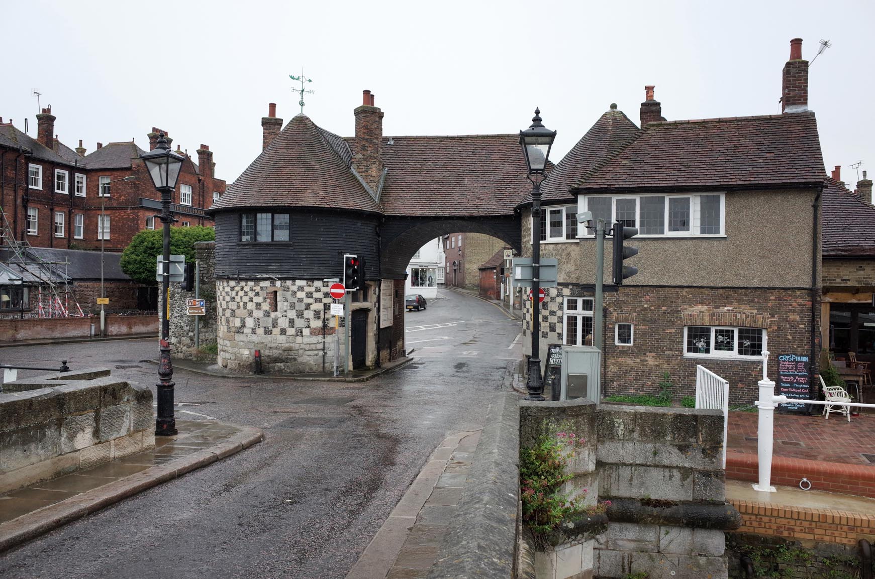
| Pennawd | [EPW013243] Strand Street, Sandwich Bridge and environs, Sandwich, 1925. This image has been produced from a print. |
| Cyfeirnod | EPW013243 |
| Dyddiad | June-1925 |
| Dolen | |
| Enw lle | SANDWICH |
| Plwyf | SANDWICH |
| Ardal | |
| Gwlad | ENGLAND |
| Dwyreiniad / Gogleddiad | 633092, 158261 |
| Hydred / Lledred | 1.3423775808748, 51.27522496973 |
| Cyfeirnod Grid Cenedlaethol | TR331583 |
Pinnau
Byddwch y cyntaf i ychwanegu sylw at y ddelwedd hon!
Cyfraniadau Grŵp

Saint Peter's Church Sandwich |

Alan McFaden |
Tuesday 18th of November 2014 04:02:21 PM |
Sandwich Toll Gate |
Alan McFaden |
Tuesday 18th of November 2014 04:01:40 PM |