
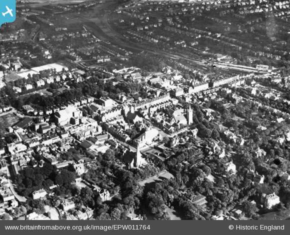
EPW011764 ENGLAND (1924). The High Street, Sutton, 1924. This image has been produced from a print.
© Hawlfraint cyfranwyr OpenStreetMap a thrwyddedwyd gan yr OpenStreetMap Foundation. 2026. Trwyddedir y gartograffeg fel CC BY-SA.
Delweddau cyfagos (18)
EPW011764

EPW006247

EPW006398

EPW050016

EPW028247

EPW050018

EPW057037

EAW022955

EPW011420

EPW057032

EPW057036

EAW022958

EPW001676

EPW011427

EPW011428

EPW028245

EPW057035

EPW001674

Manylion
| Pennawd | [EPW011764] The High Street, Sutton, 1924. This image has been produced from a print. |
| Cyfeirnod | EPW011764 |
| Dyddiad | September-1924 |
| Dolen | |
| Enw lle | SUTTON |
| Plwyf | |
| Ardal | |
| Gwlad | ENGLAND |
| Dwyreiniad / Gogleddiad | 525953, 164003 |
| Hydred / Lledred | -0.1907217273942, 51.360613839803 |
| Cyfeirnod Grid Cenedlaethol | TQ260640 |
Pinnau

Joy |
Tuesday 25th of January 2022 02:58:19 PM | |
|
Kim |
Sunday 6th of June 2021 10:08:56 AM | |
|
Kim |
Sunday 6th of June 2021 10:08:13 AM | |
|
Kim |
Sunday 6th of June 2021 09:49:46 AM | |
|
Kim |
Sunday 6th of June 2021 09:08:21 AM |