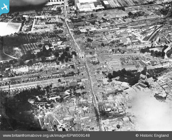
EPW009148 ENGLAND (1923). St Peter's Street and Westgate, Canterbury, 1923. This image has been produced from a print.
© Hawlfraint cyfranwyr OpenStreetMap a thrwyddedwyd gan yr OpenStreetMap Foundation. 2026. Trwyddedir y gartograffeg fel CC BY-SA.
Delweddau cyfagos (5)
Manylion
| Pennawd | [EPW009148] St Peter's Street and Westgate, Canterbury, 1923. This image has been produced from a print. |
| Cyfeirnod | EPW009148 |
| Dyddiad | 1923 |
| Dolen | |
| Enw lle | CANTERBURY |
| Plwyf | |
| Ardal | |
| Gwlad | ENGLAND |
| Dwyreiniad / Gogleddiad | 614663, 158036 |
| Hydred / Lledred | 1.0784101398098, 51.280445923377 |
| Cyfeirnod Grid Cenedlaethol | TR147580 |
Pinnau
Cyfraniadau Grŵp

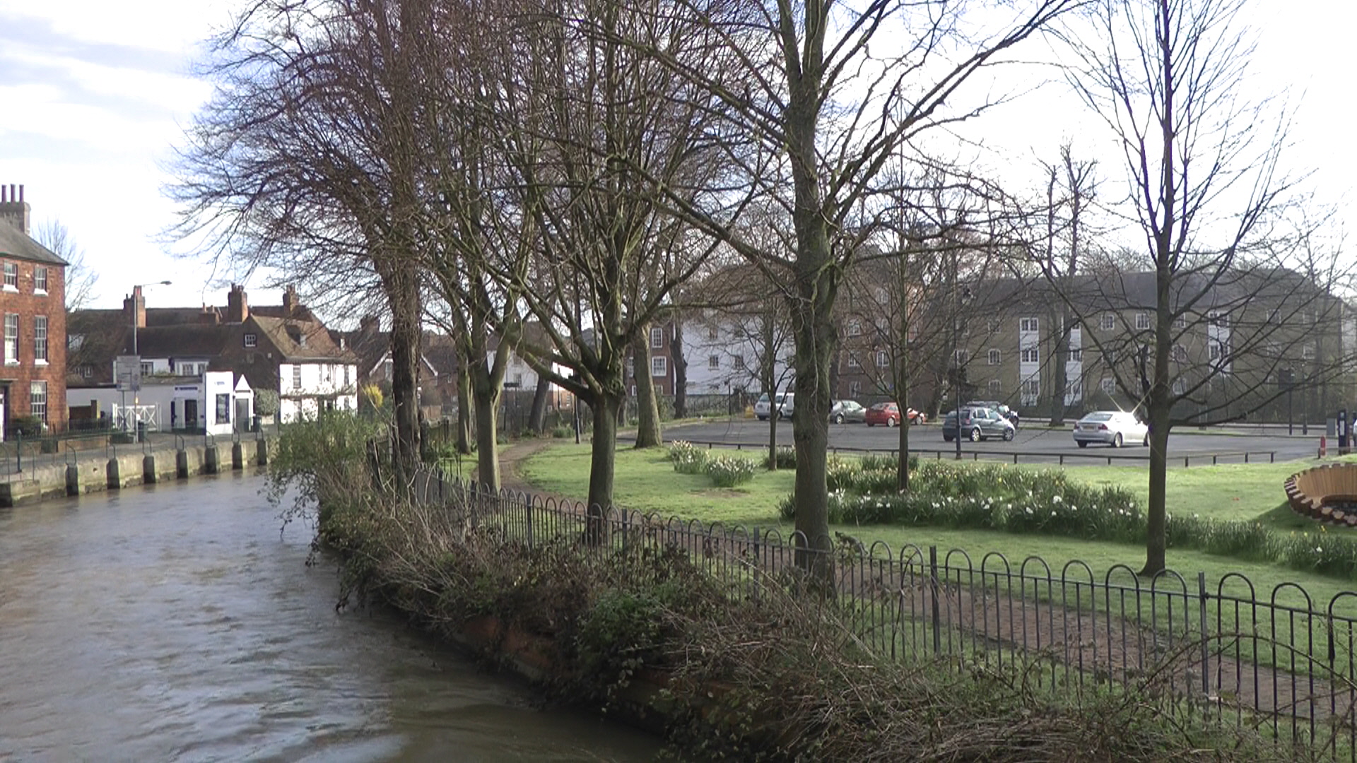
The Causeway Deans Mill Court from west |

Marian |
Sunday 8th of May 2016 04:01:07 PM |


![[EPW009148] St Peter's Street and Westgate, Canterbury, 1923. This image has been produced from a print.](http://britainfromabove.org.uk/sites/all/libraries/aerofilms-images/public/100x100/EPW/009/EPW009148.jpg)
![[EPW000396] Canterbury, Kent, from the west, 1920](http://britainfromabove.org.uk/sites/all/libraries/aerofilms-images/public/100x100/EPW/000/EPW000396.jpg)
![[EPW013267] West Gate and the city centre, Canterbury, 1925. This image has been produced from a copy-negative.](http://britainfromabove.org.uk/sites/all/libraries/aerofilms-images/public/100x100/EPW/013/EPW013267.jpg)
![[EAW004803] The city centre, Canterbury, from the north-east, 1947](http://britainfromabove.org.uk/sites/all/libraries/aerofilms-images/public/100x100/EAW/004/EAW004803.jpg)
![[EAW004804] The city centre, Canterbury, from the west, 1947](http://britainfromabove.org.uk/sites/all/libraries/aerofilms-images/public/100x100/EAW/004/EAW004804.jpg)