
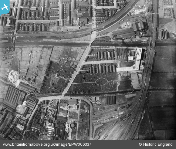
EPW006337 ENGLAND (1921). Sculcoates Cemetery and environs, Sculcoates, 1921
© Hawlfraint cyfranwyr OpenStreetMap a thrwyddedwyd gan yr OpenStreetMap Foundation. 2026. Trwyddedir y gartograffeg fel CC BY-SA.
Delweddau cyfagos (18)
EPW006337

EAW030288

EPW042059

EPW006343

EPW006344

EPW042060

EPW042058

EAW030289

EPW036498

EPW042055

EPW042057

EPW006342

EAW030290

EPW042076

EPW006347

EPW006348

EPW006338

EPW006339

Manylion
| Pennawd | [EPW006337] Sculcoates Cemetery and environs, Sculcoates, 1921 |
| Cyfeirnod | EPW006337 |
| Dyddiad | May-1921 |
| Dolen | |
| Enw lle | SCULCOATES |
| Plwyf | |
| Ardal | |
| Gwlad | ENGLAND |
| Dwyreiniad / Gogleddiad | 509408, 430813 |
| Hydred / Lledred | -0.34013575657814, 53.761946512348 |
| Cyfeirnod Grid Cenedlaethol | TA094308 |
Pinnau

Martin_J |
Tuesday 23rd of June 2020 11:02:29 PM | |
|
trevorsboy |
Friday 25th of March 2016 07:35:09 PM | |
|
John Wass |
Sunday 28th of December 2014 03:16:14 PM | |
|
John Wass |
Monday 18th of August 2014 01:34:53 PM |