
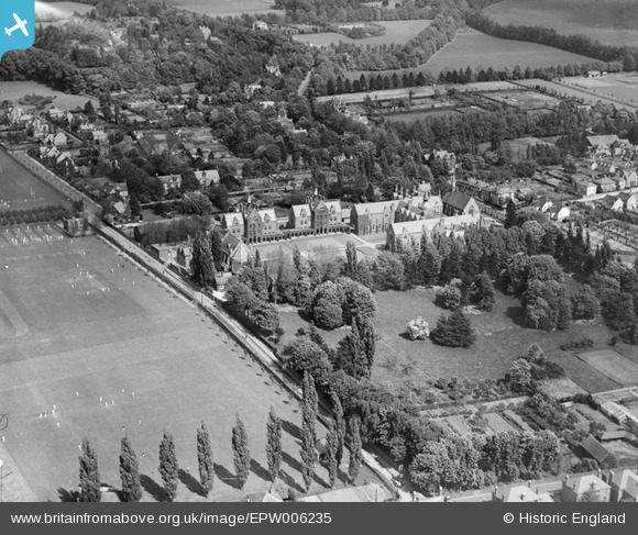
EPW006235 ENGLAND (1921). St John's School, Leatherhead, 1921
© Hawlfraint cyfranwyr OpenStreetMap a thrwyddedwyd gan yr OpenStreetMap Foundation. 2026. Trwyddedir y gartograffeg fel CC BY-SA.
Delweddau cyfagos (8)
EPW006235

EPW006236

EPW032796

EPW025244

EPW025245

EAW049422

EAW049420

EPW025243

Manylion
| Pennawd | [EPW006235] St John's School, Leatherhead, 1921 |
| Cyfeirnod | EPW006235 |
| Dyddiad | 23-May-1921 |
| Dolen | |
| Enw lle | LEATHERHEAD |
| Plwyf | |
| Ardal | |
| Gwlad | ENGLAND |
| Dwyreiniad / Gogleddiad | 516956, 156722 |
| Hydred / Lledred | -0.32228981869869, 51.297089717232 |
| Cyfeirnod Grid Cenedlaethol | TQ170567 |
Pinnau
Byddwch y cyntaf i ychwanegu sylw at y ddelwedd hon!