
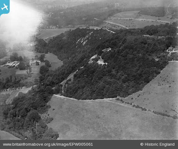
EPW005061 ENGLAND (1920). Box Hill, Westhumble, 1920
© Hawlfraint cyfranwyr OpenStreetMap a thrwyddedwyd gan yr OpenStreetMap Foundation. 2026. Trwyddedir y gartograffeg fel CC BY-SA.
Delweddau cyfagos (7)
EPW005061

EPW001624

EAW003358

EAW008252

EPW001623

EAW008253

EAW003356

Manylion
| Pennawd | [EPW005061] Box Hill, Westhumble, 1920 |
| Cyfeirnod | EPW005061 |
| Dyddiad | July-1920 |
| Dolen | |
| Enw lle | WESTHUMBLE |
| Plwyf | BROCKHAM |
| Ardal | |
| Gwlad | ENGLAND |
| Dwyreiniad / Gogleddiad | 517561, 151244 |
| Hydred / Lledred | -0.31541732530651, 51.247723552001 |
| Cyfeirnod Grid Cenedlaethol | TQ176512 |
Pinnau

Class31 |
Monday 11th of November 2013 05:12:57 PM |
Cyfraniadau Grŵp
Westhumble invisible behind cockpit flare, image looking north and slightly west from swiss cottage |

John |
Monday 25th of June 2012 09:06:38 PM |