
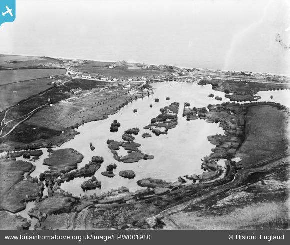
EPW001910 ENGLAND (1920). The Meare, Thorpeness, from the west, 1920
© Hawlfraint cyfranwyr OpenStreetMap a thrwyddedwyd gan yr OpenStreetMap Foundation. 2026. Trwyddedir y gartograffeg fel CC BY-SA.
Delweddau cyfagos (6)
EPW001910

EAW037848

EAW038336

EAW038305

EAW038353

EAW038306

Manylion
| Pennawd | [EPW001910] The Meare, Thorpeness, from the west, 1920 |
| Cyfeirnod | EPW001910 |
| Dyddiad | June-1920 |
| Dolen | |
| Enw lle | THORPENESS |
| Plwyf | ALDRINGHAM CUM THORPE |
| Ardal | |
| Gwlad | ENGLAND |
| Dwyreiniad / Gogleddiad | 646606, 259659 |
| Hydred / Lledred | 1.607577461131, 52.17955246776 |
| Cyfeirnod Grid Cenedlaethol | TM466597 |
Pinnau

ChrisJones |
Thursday 24th of July 2014 08:04:00 PM | |
|
holidayinsuffolk |
Tuesday 26th of March 2013 08:08:08 AM | |

Class31 |
Monday 11th of March 2013 01:25:21 PM | |
|
Class31 |
Monday 11th of March 2013 01:24:37 PM | |
|
Class31 |
Monday 11th of March 2013 01:23:26 PM | |
|
Dennis Jackson |
Sunday 10th of March 2013 12:47:09 AM | |
|
Dennis Jackson |
Sunday 10th of March 2013 12:36:57 AM | |
|
Dennis Jackson |
Sunday 10th of March 2013 12:36:03 AM | |
|
Dennis Jackson |
Sunday 10th of March 2013 12:34:28 AM | |
|
Dennis Jackson |
Monday 25th of June 2012 07:12:25 AM |