
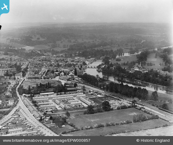
EPW000857 ENGLAND (1920). View over Henley, Henley, from the south, 1920
© Hawlfraint cyfranwyr OpenStreetMap a thrwyddedwyd gan yr OpenStreetMap Foundation. 2026. Trwyddedir y gartograffeg fel CC BY-SA.
Delweddau cyfagos (2)
EPW000857

EPW000862

Manylion
| Pennawd | [EPW000857] View over Henley, Henley, from the south, 1920 |
| Cyfeirnod | EPW000857 |
| Dyddiad | May-1920 |
| Dolen | |
| Enw lle | HENLEY-ON-THAMES |
| Plwyf | HENLEY-ON-THAMES |
| Ardal | |
| Gwlad | ENGLAND |
| Dwyreiniad / Gogleddiad | 476485, 181995 |
| Hydred / Lledred | -0.89723880017641, 51.531196456227 |
| Cyfeirnod Grid Cenedlaethol | SU765820 |
Pinnau

John W |
Sunday 17th of July 2016 05:23:55 PM | |
|
David960 |
Tuesday 3rd of February 2015 06:12:40 PM | |
just beyond the turntable, and accessed from it, are two 'roads' with servicing pits between the lines. |
John W |
Sunday 17th of July 2016 05:23:10 PM |
|
David960 |
Tuesday 3rd of February 2015 06:12:06 PM | |
|
Nowy Paul |
Friday 28th of September 2012 04:02:50 PM | |
|
Nowy Paul |
Friday 28th of September 2012 03:52:08 PM | |
|
Nowy Paul |
Monday 20th of August 2012 08:25:35 PM | |
|
Nowy Paul |
Monday 20th of August 2012 08:24:41 PM | |
|
Nowy Paul |
Monday 20th of August 2012 08:22:12 PM |