
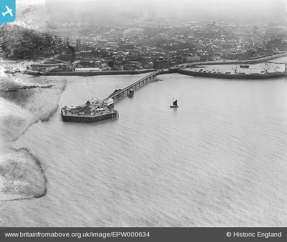
EPW000634 ENGLAND (1920). The Jetty, Margate, from the north-west, 1920
© Hawlfraint cyfranwyr OpenStreetMap a thrwyddedwyd gan yr OpenStreetMap Foundation. 2026. Trwyddedir y gartograffeg fel CC BY-SA.
Delweddau cyfagos (7)
EPW000634

EPW009163

EPW009240

EPW048849

EPW000619

EPW018601

EPW035467

Manylion
| Pennawd | [EPW000634] The Jetty, Margate, from the north-west, 1920 |
| Cyfeirnod | EPW000634 |
| Dyddiad | April-1920 |
| Dolen | |
| Enw lle | MARGATE |
| Plwyf | |
| Ardal | |
| Gwlad | ENGLAND |
| Dwyreiniad / Gogleddiad | 635137, 171635 |
| Hydred / Lledred | 1.3804754836405, 51.39444508084 |
| Cyfeirnod Grid Cenedlaethol | TR351716 |
Pinnau
Byddwch y cyntaf i ychwanegu sylw at y ddelwedd hon!