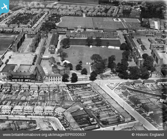
EPR000637 ENGLAND (1935). Hounslow Cavalry Barracks, Hounslow, 1935
    © Hawlfraint cyfranwyr OpenStreetMap a thrwyddedwyd gan yr OpenStreetMap Foundation. 2025. Trwyddedir y gartograffeg fel CC BY-SA.
  
Delweddau cyfagos (6)
Manylion
| Pennawd | [EPR000637] Hounslow Cavalry Barracks, Hounslow, 1935 | 
| Cyfeirnod | EPR000637 | 
| Dyddiad | 9-July-1935 | 
| Dolen | |
| Enw lle | HOUNSLOW | 
| Plwyf | |
| Ardal | |
| Gwlad | ENGLAND | 
| Dwyreiniad / Gogleddiad | 511927, 175550 | 
| Hydred / Lledred | -0.38846413433251, 51.467348352433 | 
| Cyfeirnod Grid Cenedlaethol | TQ119756 | 
Pinnau
Byddwch y cyntaf i ychwanegu sylw at y ddelwedd hon!
 
             
  ![[EPR000637] Hounslow Cavalry Barracks, Hounslow, 1935](http://britainfromabove.org.uk/sites/all/libraries/aerofilms-images/public/100x100/EPR/000/EPR000637.jpg) 
  
                                          ![[EPW023231] Hounslow Barracks and Hounslow Heath, Hounslow, 1928](http://britainfromabove.org.uk/sites/all/libraries/aerofilms-images/public/100x100/EPW/023/EPW023231.jpg) 
 ![[EPW023237] Hounslow Barracks and Hounslow Heath, Hounslow, 1928](http://britainfromabove.org.uk/sites/all/libraries/aerofilms-images/public/100x100/EPW/023/EPW023237.jpg) 
 ![[EPW023234] Hounslow Barracks and Drill Ground, Hounslow, 1928](http://britainfromabove.org.uk/sites/all/libraries/aerofilms-images/public/100x100/EPW/023/EPW023234.jpg) 
 ![[EPW023228] Hounslow Barracks and Drill Ground, Hounslow, 1928](http://britainfromabove.org.uk/sites/all/libraries/aerofilms-images/public/100x100/EPW/023/EPW023228.jpg) 
 ![[EPW057925] The Hounslow West area, Hounslow, 1938. This image has been produced from a copy-negative.](http://britainfromabove.org.uk/sites/all/libraries/aerofilms-images/public/100x100/EPW/057/EPW057925.jpg)