
EPR000449 ENGLAND (1935). The River Thames and Hampton Court Palace, Hampton Court Park, from the south, 1935. This image has been produced from a damaged negative.

© Hawlfraint cyfranwyr OpenStreetMap a thrwyddedwyd gan yr OpenStreetMap Foundation. 2026. Trwyddedir y gartograffeg fel CC BY-SA.
Delweddau cyfagos (4)
EPR000449

EPW005055

EPW049573

EPW049608

Manylion
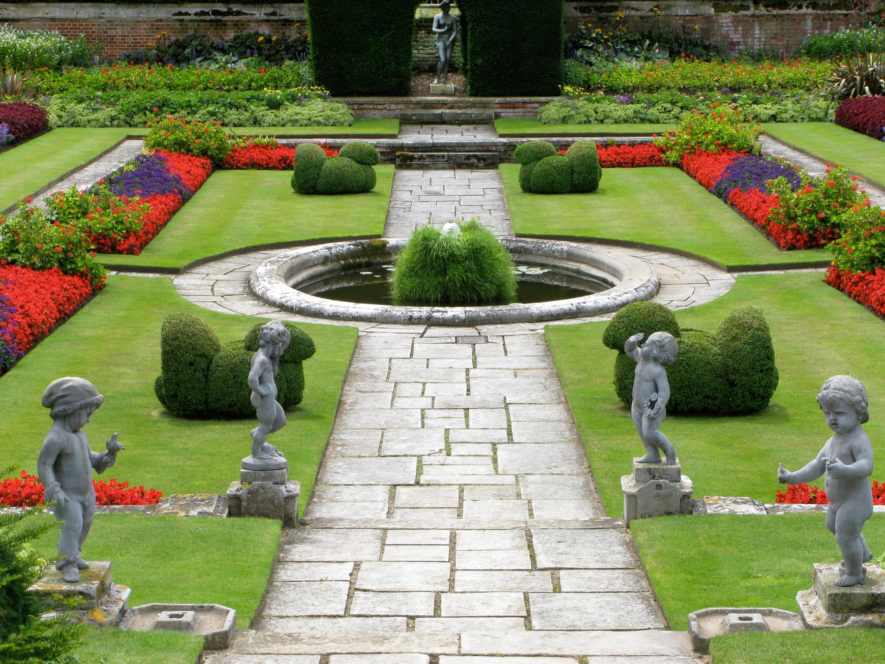
| Pennawd | [EPR000449] The River Thames and Hampton Court Palace, Hampton Court Park, from the south, 1935. This image has been produced from a damaged negative. |
| Cyfeirnod | EPR000449 |
| Dyddiad | 21-March-1935 |
| Dolen | |
| Enw lle | HAMPTON COURT PARK |
| Plwyf | |
| Ardal | |
| Gwlad | ENGLAND |
| Dwyreiniad / Gogleddiad | 515929, 167883 |
| Hydred / Lledred | -0.33337892275627, 51.39762538742 |
| Cyfeirnod Grid Cenedlaethol | TQ159679 |
Pinnau
Byddwch y cyntaf i ychwanegu sylw at y ddelwedd hon!
Cyfraniadau Grŵp
Hampton Court Garden |

Alan McFaden |
Saturday 15th of November 2014 03:01:55 PM |

Hampton Court Gardens |
Alan McFaden |
Saturday 15th of November 2014 03:01:20 PM |

Hampton Court Palace |
Alan McFaden |
Saturday 15th of November 2014 03:00:56 PM |