
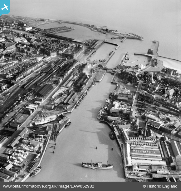
EAW052982 ENGLAND (1953). The docks and harbours, Lowestoft, 1953
© Hawlfraint cyfranwyr OpenStreetMap a thrwyddedwyd gan yr OpenStreetMap Foundation. 2026. Trwyddedir y gartograffeg fel CC BY-SA.
Delweddau cyfagos (15)
EAW052982

EAW047637

EAW052981

EAW031908

EPW021242

EPW021243

EAW047640

EPW021253

EAW047641

EAW052979

EPW001898

EAW025475

EAW031906

EPW021250

EAW047639

Manylion
| Pennawd | [EAW052982] The docks and harbours, Lowestoft, 1953 |
| Cyfeirnod | EAW052982 |
| Dyddiad | 19-November-1953 |
| Dolen | |
| Enw lle | LOWESTOFT |
| Plwyf | |
| Ardal | |
| Gwlad | ENGLAND |
| Dwyreiniad / Gogleddiad | 654587, 292729 |
| Hydred / Lledred | 1.7490987672903, 52.472635988619 |
| Cyfeirnod Grid Cenedlaethol | TM546927 |
Pinnau

Brightonboy |
Friday 29th of January 2021 09:31:44 PM | |
|
Brightonboy |
Thursday 13th of November 2014 10:29:00 PM | |
|
Brightonboy |
Thursday 13th of November 2014 10:25:41 PM | |
Demolished 1977 after frequent flooding had affected the building and rendered it unsafe. See http://www.geograph.org.uk/photo/1914495 for St Peter and St John's church, with which the parish of the demolished church was united. |
John W |
Saturday 10th of September 2016 08:51:47 PM |
|
Brightonboy |
Thursday 13th of November 2014 10:24:45 PM |