
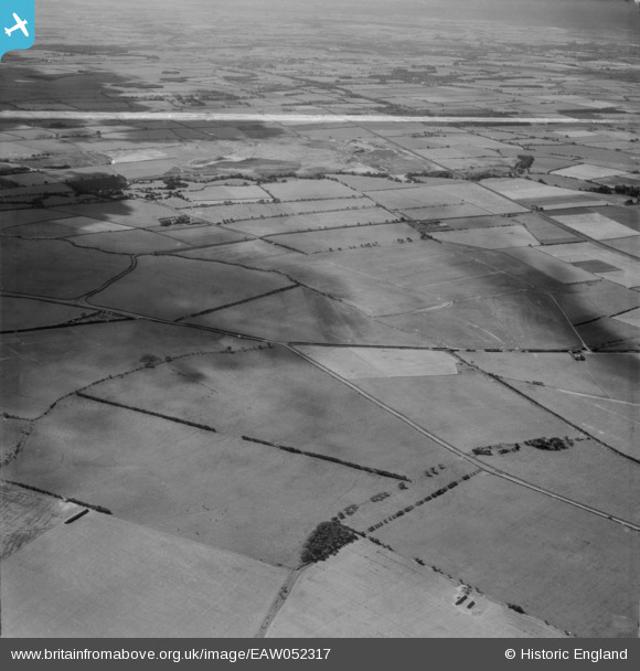
EAW052317 ENGLAND (1953). The site of opencast coal mining between Widdrington Station and Linton prior to extraction, Linton, from the north-east, 1953. This image was marked by Aerofilms Ltd for photo editing.
© Hawlfraint cyfranwyr OpenStreetMap a thrwyddedwyd gan yr OpenStreetMap Foundation. 2025. Trwyddedir y gartograffeg fel CC BY-SA.
Delweddau cyfagos (2)
EAW052317

EAW052316

Manylion
| Pennawd | [EAW052317] The site of opencast coal mining between Widdrington Station and Linton prior to extraction, Linton, from the north-east, 1953. This image was marked by Aerofilms Ltd for photo editing. |
| Cyfeirnod | EAW052317 |
| Dyddiad | 10-September-1953 |
| Dolen | |
| Enw lle | LINTON |
| Plwyf | ELLINGTON AND LINTON |
| Ardal | |
| Gwlad | ENGLAND |
| Dwyreiniad / Gogleddiad | 425980, 593498 |
| Hydred / Lledred | -1.5914313193261, 55.234959919198 |
| Cyfeirnod Grid Cenedlaethol | NZ260935 |
Pinnau

Matt Aldred edob.mattaldred.com |
Monday 21st of March 2022 07:04:08 PM | |

cptpies |
Friday 1st of November 2019 09:37:34 AM |