
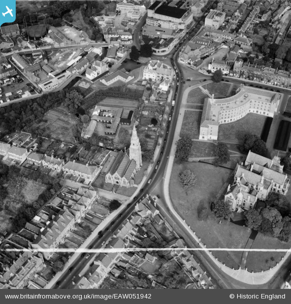
EAW051942 ENGLAND (1953). St John's Church, County Hall and Shire Hall, Taunton, 1953. This image was marked by Aerofilms Ltd for photo editing.
© Hawlfraint cyfranwyr OpenStreetMap a thrwyddedwyd gan yr OpenStreetMap Foundation. 2026. Trwyddedir y gartograffeg fel CC BY-SA.
Delweddau cyfagos (23)
EAW051942

EAW005136

EAW015037

EAW015039

EPW027891

EAW005140

EAW005139

EAW005344

EAW005345

EAW005135

EAW015038

EAW005137

EAW005138

EAW049104

EAW005141

EAW049103

EAW051946

EPW041182

EAW051945

EAW051948

EAW005340

EAW005342

EAW005337

Manylion
| Pennawd | [EAW051942] St John's Church, County Hall and Shire Hall, Taunton, 1953. This image was marked by Aerofilms Ltd for photo editing. |
| Cyfeirnod | EAW051942 |
| Dyddiad | 30-August-1953 |
| Dolen | |
| Enw lle | TAUNTON |
| Plwyf | |
| Ardal | |
| Gwlad | ENGLAND |
| Dwyreiniad / Gogleddiad | 322371, 124392 |
| Hydred / Lledred | -3.1067378943323, 51.013122531394 |
| Cyfeirnod Grid Cenedlaethol | ST224244 |
Pinnau

MG |
Saturday 18th of March 2017 09:19:46 PM |