
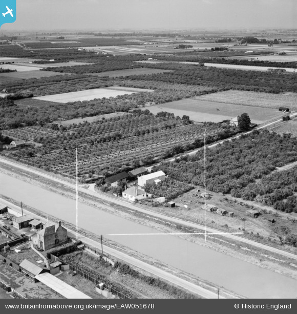
EAW051678 ENGLAND (1953). Nine Elms Fruit Farm and the River Nene, Wisbech, from the east, 1953. This image was marked by Aerofilms Ltd for photo editing.
© Hawlfraint cyfranwyr OpenStreetMap a thrwyddedwyd gan yr OpenStreetMap Foundation. 2026. Trwyddedir y gartograffeg fel CC BY-SA.
Delweddau cyfagos (4)
EAW051678

EAW051679

EAW051677

EAW051676

Manylion
| Pennawd | [EAW051678] Nine Elms Fruit Farm and the River Nene, Wisbech, from the east, 1953. This image was marked by Aerofilms Ltd for photo editing. |
| Cyfeirnod | EAW051678 |
| Dyddiad | 31-August-1953 |
| Dolen | |
| Enw lle | WISBECH |
| Plwyf | WISBECH |
| Ardal | |
| Gwlad | ENGLAND |
| Dwyreiniad / Gogleddiad | 544931, 308165 |
| Hydred / Lledred | 0.14271760208826, 52.651473715906 |
| Cyfeirnod Grid Cenedlaethol | TF449082 |
Pinnau
Byddwch y cyntaf i ychwanegu sylw at y ddelwedd hon!