
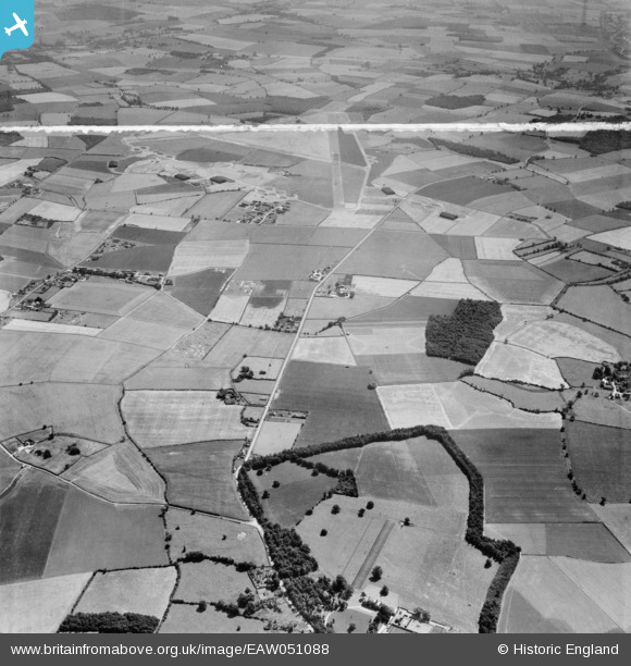
EAW051088 ENGLAND (1953). West Wratting Park, Randswood Farm and RAF Wratting Common Airfield, West Wratting, 1953. This image was marked by Aerofilms Ltd for photo editing.
© Hawlfraint cyfranwyr OpenStreetMap a thrwyddedwyd gan yr OpenStreetMap Foundation. 2026. Trwyddedir y gartograffeg fel CC BY-SA.
Delweddau cyfagos (7)
EAW051088

EAW051087

EAW051094

EAW051092

EAW051096

EAW051095

EAW051093

Manylion
| Pennawd | [EAW051088] West Wratting Park, Randswood Farm and RAF Wratting Common Airfield, West Wratting, 1953. This image was marked by Aerofilms Ltd for photo editing. |
| Cyfeirnod | EAW051088 |
| Dyddiad | 10-August-1953 |
| Dolen | |
| Enw lle | WEST WRATTING |
| Plwyf | WEST WRATTING |
| Ardal | |
| Gwlad | ENGLAND |
| Dwyreiniad / Gogleddiad | 562400, 251044 |
| Hydred / Lledred | 0.37305722652059, 52.133387514273 |
| Cyfeirnod Grid Cenedlaethol | TL624510 |
Pinnau

Graham Yaxley |
Sunday 18th of January 2015 02:03:36 PM |