
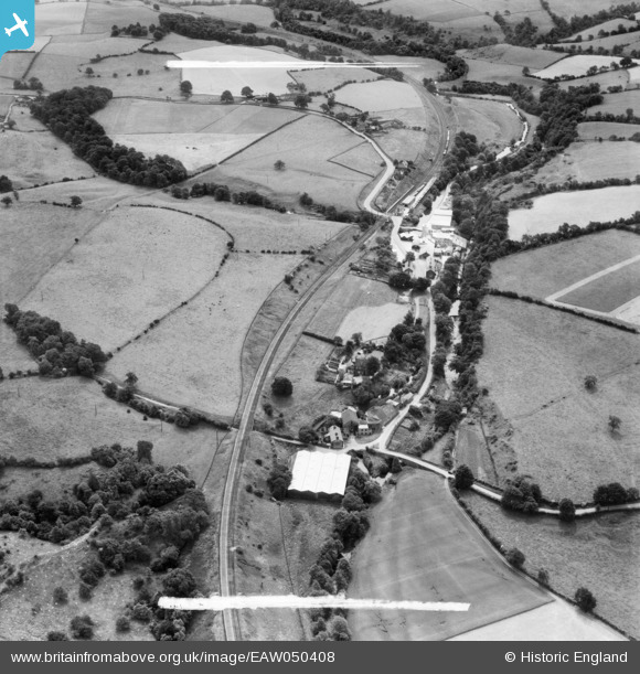
EAW050408 ENGLAND (1953). The Wood Flour Mills and environs, Bosley, 1953. This image was marked by Aerofilms Ltd for photo editing.
© Hawlfraint cyfranwyr OpenStreetMap a thrwyddedwyd gan yr OpenStreetMap Foundation. 2026. Trwyddedir y gartograffeg fel CC BY-SA.
Delweddau cyfagos (7)
EAW050408

EAW050409

EAW050412

EAW050410

EAW050411

EAW050407

EAW050413

Manylion
| Pennawd | [EAW050408] The Wood Flour Mills and environs, Bosley, 1953. This image was marked by Aerofilms Ltd for photo editing. |
| Cyfeirnod | EAW050408 |
| Dyddiad | 7-July-1953 |
| Dolen | |
| Enw lle | BOSLEY |
| Plwyf | BOSLEY |
| Ardal | |
| Gwlad | ENGLAND |
| Dwyreiniad / Gogleddiad | 391362, 364988 |
| Hydred / Lledred | -2.1292689207896, 53.181634310027 |
| Cyfeirnod Grid Cenedlaethol | SJ914650 |
Pinnau

bescotbeast |
Monday 20th of March 2023 05:10:29 PM | |
|
bescotbeast |
Monday 20th of March 2023 05:02:38 PM |