
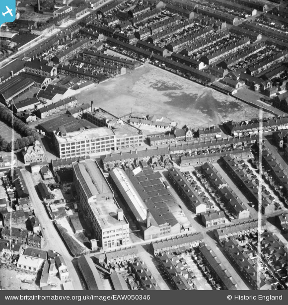
EAW050346 ENGLAND (1953). The Alliance Box Co Ltd Works on Orford Lane and environs, Warrington, 1953. This image was marked by Aerofilms Ltd for photo editing.
© Hawlfraint cyfranwyr OpenStreetMap a thrwyddedwyd gan yr OpenStreetMap Foundation. 2026. Trwyddedir y gartograffeg fel CC BY-SA.
Delweddau cyfagos (19)
EAW050346

EAW014614

EAW050351

EAW014621

EAW050348

EAW014618

EAW050345

EAW014615

EAW014616

EAW014617

EAW050349

EAW014620

EAW014619

EAW050350

EAW014612

EAW050347

EAW014613

EAW050352

EAW014622

Manylion
| Pennawd | [EAW050346] The Alliance Box Co Ltd Works on Orford Lane and environs, Warrington, 1953. This image was marked by Aerofilms Ltd for photo editing. |
| Cyfeirnod | EAW050346 |
| Dyddiad | 3-July-1953 |
| Dolen | |
| Enw lle | WARRINGTON |
| Plwyf | |
| Ardal | |
| Gwlad | ENGLAND |
| Dwyreiniad / Gogleddiad | 360789, 388967 |
| Hydred / Lledred | -2.5897431142741, 53.395814031104 |
| Cyfeirnod Grid Cenedlaethol | SJ608890 |
Pinnau

redmist |
Monday 20th of July 2020 09:28:52 PM | |
|
Neil Bishop |
Monday 25th of August 2014 02:58:51 PM | |
|
Neil Bishop |
Monday 25th of August 2014 02:58:33 PM | |
|
Neil Bishop |
Monday 25th of August 2014 02:57:27 PM |