
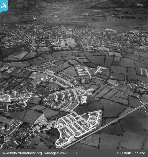
EAW050087 ENGLAND (1953). The development of the New Marston area and the city of Oxford, New Marston, 1953
© Hawlfraint cyfranwyr OpenStreetMap a thrwyddedwyd gan yr OpenStreetMap Foundation. 2026. Trwyddedir y gartograffeg fel CC BY-SA.
Delweddau cyfagos (3)
EAW050087

EAW003913

EAW050085

Manylion
| Pennawd | [EAW050087] The development of the New Marston area and the city of Oxford, New Marston, 1953 |
| Cyfeirnod | EAW050087 |
| Dyddiad | 26-June-1953 |
| Dolen | |
| Enw lle | NEW MARSTON |
| Plwyf | |
| Ardal | |
| Gwlad | ENGLAND |
| Dwyreiniad / Gogleddiad | 452740, 207773 |
| Hydred / Lledred | -1.2356662457304, 51.765697036227 |
| Cyfeirnod Grid Cenedlaethol | SP527078 |
Pinnau
Byddwch y cyntaf i ychwanegu sylw at y ddelwedd hon!