
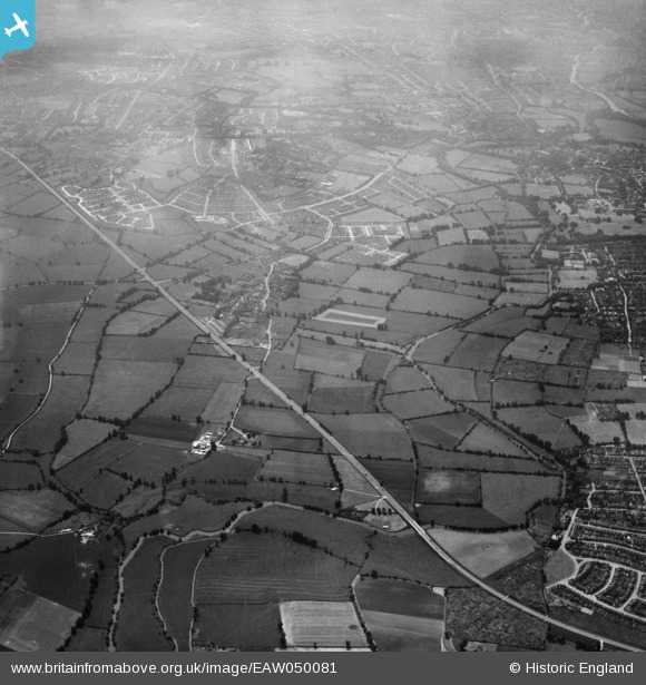
EAW050081 ENGLAND (1953). The Northern By-Pass Road and the village, Marston, from the north, 1953
© Hawlfraint cyfranwyr OpenStreetMap a thrwyddedwyd gan yr OpenStreetMap Foundation. 2026. Trwyddedir y gartograffeg fel CC BY-SA.
Delweddau cyfagos (3)
EAW050081

EAW050082

EAW003890

Manylion
| Pennawd | [EAW050081] The Northern By-Pass Road and the village, Marston, from the north, 1953 |
| Cyfeirnod | EAW050081 |
| Dyddiad | 26-June-1953 |
| Dolen | |
| Enw lle | MARSTON |
| Plwyf | OLD MARSTON |
| Ardal | |
| Gwlad | ENGLAND |
| Dwyreiniad / Gogleddiad | 452060, 209541 |
| Hydred / Lledred | -1.2452550696485, 51.781657323147 |
| Cyfeirnod Grid Cenedlaethol | SP521095 |
Pinnau

driverrob |
Sunday 5th of February 2017 12:50:47 PM |