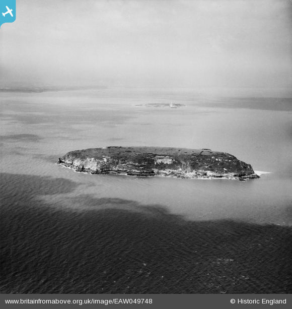
EAW049748 ENGLAND (1953). Steep Holm island, Steep Holm, 1953
    © Hawlfraint cyfranwyr OpenStreetMap a thrwyddedwyd gan yr OpenStreetMap Foundation. 2025. Trwyddedir y gartograffeg fel CC BY-SA.
  
Delweddau cyfagos (7)
Manylion
| Pennawd | [EAW049748] Steep Holm island, Steep Holm, 1953 | 
| Cyfeirnod | EAW049748 | 
| Dyddiad | 28-May-1953 | 
| Dolen | |
| Enw lle | STEEP HOLM | 
| Plwyf | WESTON-SUPER-MARE | 
| Ardal | |
| Gwlad | ENGLAND | 
| Dwyreiniad / Gogleddiad | 322783, 160718 | 
| Hydred / Lledred | -3.1086719934109, 51.339797116313 | 
| Cyfeirnod Grid Cenedlaethol | ST228607 | 
 
             
  ![[EAW049748] Steep Holm island, Steep Holm, 1953](http://britainfromabove.org.uk/sites/all/libraries/aerofilms-images/public/100x100/EAW/049/EAW049748.jpg) 
 ![[EAW049108] Steep Holm island, Steep Holm, 1953](http://britainfromabove.org.uk/sites/all/libraries/aerofilms-images/public/100x100/EAW/049/EAW049108.jpg) 
 ![[EAW049109] Steep Holm island, Steep Holm, 1953. This image has been produced from a damaged negative.](http://britainfromabove.org.uk/sites/all/libraries/aerofilms-images/public/100x100/EAW/049/EAW049109.jpg) 
 ![[EAW049105] Steep Holm island, Steep Holm, 1953](http://britainfromabove.org.uk/sites/all/libraries/aerofilms-images/public/100x100/EAW/049/EAW049105.jpg) 
 ![[EAW049749] Steep Holm island, Steep Holm, 1953](http://britainfromabove.org.uk/sites/all/libraries/aerofilms-images/public/100x100/EAW/049/EAW049749.jpg) 
 ![[EAW049107] Steep Holm island, Steep Holm, 1953](http://britainfromabove.org.uk/sites/all/libraries/aerofilms-images/public/100x100/EAW/049/EAW049107.jpg) 
 ![[EAW049750] Steep Holm island, Steep Holm, 1953](http://britainfromabove.org.uk/sites/all/libraries/aerofilms-images/public/100x100/EAW/049/EAW049750.jpg) 
 