
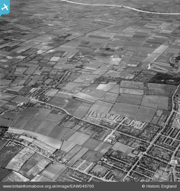
EAW049700 ENGLAND (1953). Messingham Road and the site for the Riddings Estate, Scunthorpe, 1953
© Hawlfraint cyfranwyr OpenStreetMap a thrwyddedwyd gan yr OpenStreetMap Foundation. 2026. Trwyddedir y gartograffeg fel CC BY-SA.
Delweddau cyfagos (5)
EAW049700

EAW049707

EAW049698

EAW049701

EAW049702

Manylion
| Pennawd | [EAW049700] Messingham Road and the site for the Riddings Estate, Scunthorpe, 1953 |
| Cyfeirnod | EAW049700 |
| Dyddiad | 24-May-1953 |
| Dolen | |
| Enw lle | SCUNTHORPE |
| Plwyf | BOTTESFORD |
| Ardal | |
| Gwlad | ENGLAND |
| Dwyreiniad / Gogleddiad | 488493, 407558 |
| Hydred / Lledred | -0.66396350424015, 53.556932321141 |
| Cyfeirnod Grid Cenedlaethol | SE885076 |
