
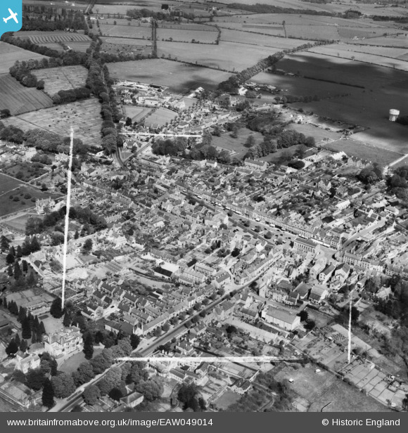
EAW049014 ENGLAND (1953). The town centre, Chipping Norton, 1953. This image was marked by Aerofilms Ltd for photo editing.
© Hawlfraint cyfranwyr OpenStreetMap a thrwyddedwyd gan yr OpenStreetMap Foundation. 2026. Trwyddedir y gartograffeg fel CC BY-SA.
Delweddau cyfagos (12)
EAW049014

EPW026913

EPW026911

EAW049010

EPW026905

EAW049013

EAW049012

EPW026906

EPW026910

EPW026904

EPW026909

EPW026914

Manylion
| Pennawd | [EAW049014] The town centre, Chipping Norton, 1953. This image was marked by Aerofilms Ltd for photo editing. |
| Cyfeirnod | EAW049014 |
| Dyddiad | 5-May-1953 |
| Dolen | |
| Enw lle | CHIPPING NORTON |
| Plwyf | CHIPPING NORTON |
| Ardal | |
| Gwlad | ENGLAND |
| Dwyreiniad / Gogleddiad | 431394, 227205 |
| Hydred / Lledred | -1.5432431410509, 51.942027607117 |
| Cyfeirnod Grid Cenedlaethol | SP314272 |
Pinnau

tony |
Wednesday 11th of February 2015 06:56:28 PM |