
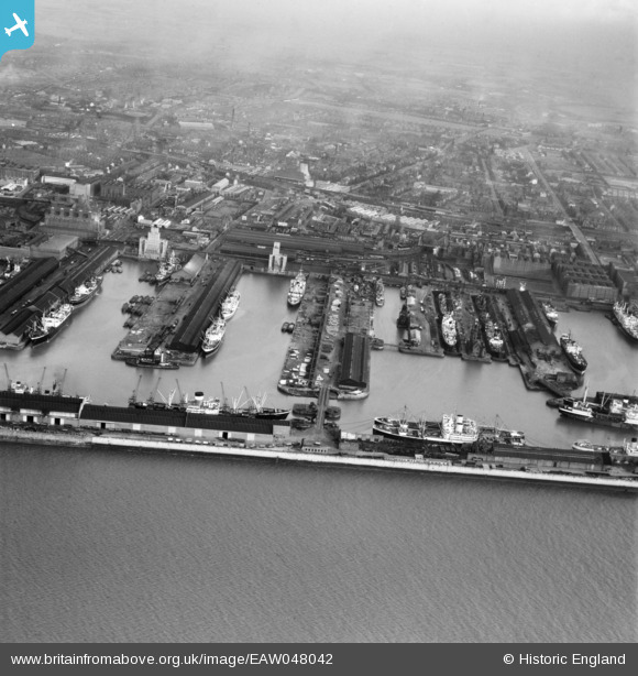
EAW048042 ENGLAND (1952). Alexandra Dock and Langton Dock, Bootle, from the south-west, 1952
© Hawlfraint cyfranwyr OpenStreetMap a thrwyddedwyd gan yr OpenStreetMap Foundation. 2026. Trwyddedir y gartograffeg fel CC BY-SA.
Delweddau cyfagos (2)
EAW048042

EAW133870

Manylion
| Pennawd | [EAW048042] Alexandra Dock and Langton Dock, Bootle, from the south-west, 1952 |
| Cyfeirnod | EAW048042 |
| Dyddiad | 12-December-1952 |
| Dolen | |
| Enw lle | BOOTLE |
| Plwyf | |
| Ardal | |
| Gwlad | ENGLAND |
| Dwyreiniad / Gogleddiad | 332808, 394658 |
| Hydred / Lledred | -3.0117409634346, 53.444145979582 |
| Cyfeirnod Grid Cenedlaethol | SJ328947 |
Pinnau
Byddwch y cyntaf i ychwanegu sylw at y ddelwedd hon!