
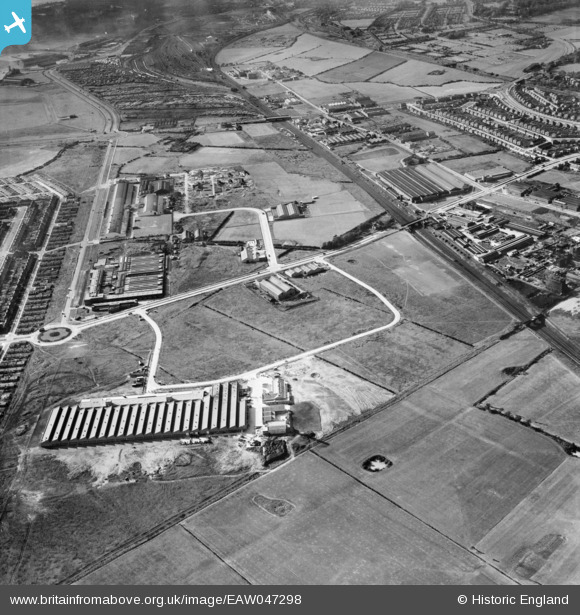
EAW047298 ENGLAND (1952). Speke Industrial Estate and environs, Speke, 1952
© Hawlfraint cyfranwyr OpenStreetMap a thrwyddedwyd gan yr OpenStreetMap Foundation. 2026. Trwyddedir y gartograffeg fel CC BY-SA.
Delweddau cyfagos (5)
EAW047298

EAW047303

EAW003056

EAW003055

EAW047294

Manylion
| Pennawd | [EAW047298] Speke Industrial Estate and environs, Speke, 1952 |
| Cyfeirnod | EAW047298 |
| Dyddiad | 4-October-1952 |
| Dolen | |
| Enw lle | SPEKE |
| Plwyf | |
| Ardal | |
| Gwlad | ENGLAND |
| Dwyreiniad / Gogleddiad | 343561, 384165 |
| Hydred / Lledred | -2.847972297033, 53.351089698465 |
| Cyfeirnod Grid Cenedlaethol | SJ436842 |
Pinnau

Hamilton163 |
Sunday 28th of August 2022 11:18:52 AM | |
|
Hamilton163 |
Sunday 28th of August 2022 11:18:08 AM | |
|
beast66606 |
Wednesday 18th of June 2014 10:31:18 PM | |
|
beast66606 |
Wednesday 18th of June 2014 10:30:59 PM |