
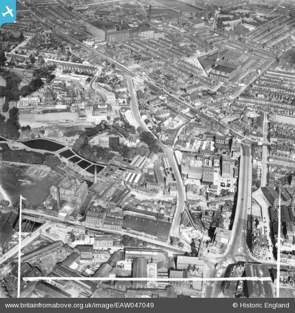
EAW047049 ENGLAND (1952). Industrial premises around Chorley Street and the Royal Bolton Infirmary, Bolton, 1952. This image was marked by Aerofilms Ltd for photo editing.
© Hawlfraint cyfranwyr OpenStreetMap a thrwyddedwyd gan yr OpenStreetMap Foundation. 2026. Trwyddedir y gartograffeg fel CC BY-SA.
Delweddau cyfagos (24)
EAW047049

EAW047046

EAW047047
 Ltd Minerva Saw Mills, Bolton, 1952. This image was marked by Aerofilms Ltd for photo editing.")
EAW047045
 Ltd Minerva Saw Mills, Bolton, 1952. This image was marked by Aerofilms Ltd for photo editing.")
EAW047044

EAW047048
 Ltd Minerva Saw Mills, Bolton, 1952. This image was marked by Aerofilms Ltd for photo editing.")
EAW047042
 Ltd Minerva Saw Mills on Bark Street, Bolton, 1952. This image was marked by Aerofilms Ltd for photo editing.")
EAW047043
 Ltd Minerva Saw Mills on Bark Street, Bolton, 1952. This image was marked by Aerofilms Ltd for photo editing.")
EPW008993

EPW008999

EPW008992

EPW008995

EPW008997

EPW008998

EPW008994

EPW019163

EPW008996

EPW019164

EPW019162

EPW019165

EPW019167

EPW019169

EPW019166

EPW019168

Manylion
| Pennawd | [EAW047049] Industrial premises around Chorley Street and the Royal Bolton Infirmary, Bolton, 1952. This image was marked by Aerofilms Ltd for photo editing. |
| Cyfeirnod | EAW047049 |
| Dyddiad | September-1952 |
| Dolen | |
| Enw lle | BOLTON |
| Plwyf | |
| Ardal | |
| Gwlad | ENGLAND |
| Dwyreiniad / Gogleddiad | 371135, 409389 |
| Hydred / Lledred | -2.4360211729333, 53.580058998069 |
| Cyfeirnod Grid Cenedlaethol | SD711094 |
Pinnau

Oddbod |
Monday 17th of April 2017 04:23:01 PM |