
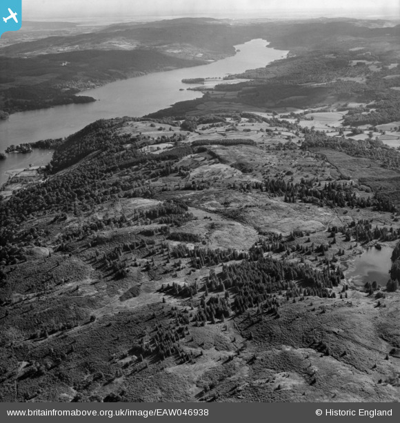
EAW046938 ENGLAND (1952). Claife Heights, the southern end of Windermere and the surrounding countryside, Far Sawrey, from the north, 1952
© Hawlfraint cyfranwyr OpenStreetMap a thrwyddedwyd gan yr OpenStreetMap Foundation. 2026. Trwyddedir y gartograffeg fel CC BY-SA.
Delweddau cyfagos (6)
EAW046938

EAW035890

EAW037154

EAW037155

EAW035891

EAW035889

Manylion
| Pennawd | [EAW046938] Claife Heights, the southern end of Windermere and the surrounding countryside, Far Sawrey, from the north, 1952 |
| Cyfeirnod | EAW046938 |
| Dyddiad | 13-September-1952 |
| Dolen | |
| Enw lle | FAR SAWREY |
| Plwyf | CLAIFE |
| Ardal | |
| Gwlad | ENGLAND |
| Dwyreiniad / Gogleddiad | 337940, 497520 |
| Hydred / Lledred | -2.9553450171231, 54.369260615429 |
| Cyfeirnod Grid Cenedlaethol | SD379975 |
Pinnau

Peter Hoggarth |
Wednesday 22nd of October 2014 06:07:02 PM | |
|
Peter Hoggarth |
Sunday 19th of October 2014 05:46:26 PM |