
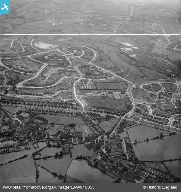
EAW046853 ENGLAND (1952). The residential area at Shard End under construction, Birmingham, 1952. This image was marked by Aerofilms Ltd for photo editing.
© Hawlfraint cyfranwyr OpenStreetMap a thrwyddedwyd gan yr OpenStreetMap Foundation. 2026. Trwyddedir y gartograffeg fel CC BY-SA.
Delweddau cyfagos (5)
EAW046853

EAW046854

EAW046855

EAW046856

EAW046849

Manylion
| Pennawd | [EAW046853] The residential area at Shard End under construction, Birmingham, 1952. This image was marked by Aerofilms Ltd for photo editing. |
| Cyfeirnod | EAW046853 |
| Dyddiad | 18-September-1952 |
| Dolen | |
| Enw lle | BIRMINGHAM |
| Plwyf | |
| Ardal | |
| Gwlad | ENGLAND |
| Dwyreiniad / Gogleddiad | 415043, 289090 |
| Hydred / Lledred | -1.778381220456, 52.499139011101 |
| Cyfeirnod Grid Cenedlaethol | SP150891 |
Pinnau

Tinkerbell |
Sunday 8th of June 2014 04:06:32 PM | |
|
Tinkerbell |
Sunday 8th of June 2014 02:38:05 PM |