
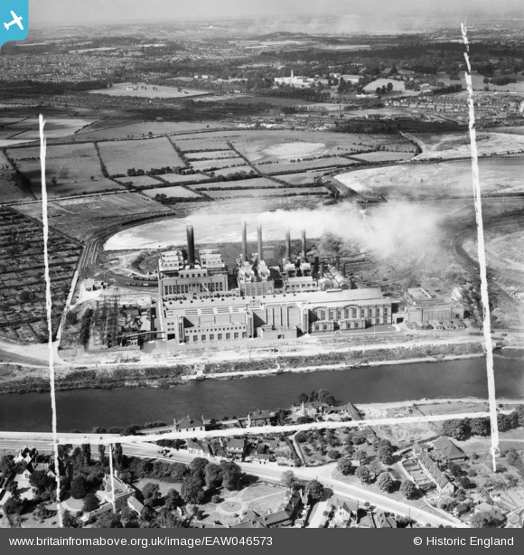
EAW046573 ENGLAND (1952). Wilford Power Station, Nottingham, from the east, 1952. This image was marked by Aerofilms Ltd for photo editing.
© Hawlfraint cyfranwyr OpenStreetMap a thrwyddedwyd gan yr OpenStreetMap Foundation. 2026. Trwyddedir y gartograffeg fel CC BY-SA.
Delweddau cyfagos (41)
EAW046573

EAW009124

EAW009126

EAW018456

EAW018452

EAW018451

EAW009127

EAW009125

EAW009119

EAW009118

EAW009117

EAW009116

EAW018461

EAW018454

EAW033486

EAW046576

EAW033477

EAW033484

EAW018453

EAW046570

EAW046572

EAW033480

EAW033483

EAW018457

EAW018460

EAW033478

EAW046575

EAW018459

EAW046574

EAW033481

EAW033487

EAW046571

EAW046569

EPW021043

EAW018458

EAW018455

EAW033485

EAW033482

EAW009122

EAW018462

EAW009123

Manylion
| Pennawd | [EAW046573] Wilford Power Station, Nottingham, from the east, 1952. This image was marked by Aerofilms Ltd for photo editing. |
| Cyfeirnod | EAW046573 |
| Dyddiad | 1-September-1952 |
| Dolen | |
| Enw lle | NOTTINGHAM |
| Plwyf | |
| Ardal | |
| Gwlad | ENGLAND |
| Dwyreiniad / Gogleddiad | 456515, 337606 |
| Hydred / Lledred | -1.1591001315186, 52.932561597742 |
| Cyfeirnod Grid Cenedlaethol | SK565376 |
Pinnau
 |

Kennyboy |
Sunday 26th of July 2015 04:33:16 PM |