
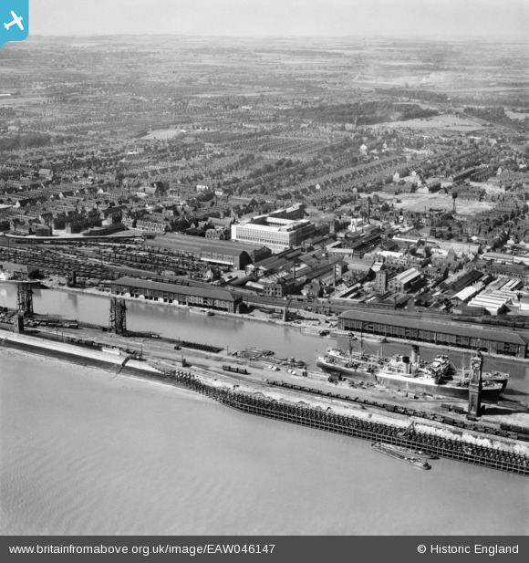
EAW046147 ENGLAND (1952). Albert Dock, Neptune Street Station and environs, Kingston upon Hull, from the south-east, 1952
© Hawlfraint cyfranwyr OpenStreetMap a thrwyddedwyd gan yr OpenStreetMap Foundation. 2026. Trwyddedir y gartograffeg fel CC BY-SA.
Delweddau cyfagos (7)
EAW046147

EPW036387

EPW009400

EAW004515

EAW004513

EPW010814

EPW009398

Manylion
| Pennawd | [EAW046147] Albert Dock, Neptune Street Station and environs, Kingston upon Hull, from the south-east, 1952 |
| Cyfeirnod | EAW046147 |
| Dyddiad | 22-August-1952 |
| Dolen | |
| Enw lle | KINGSTON UPON HULL |
| Plwyf | |
| Ardal | |
| Gwlad | ENGLAND |
| Dwyreiniad / Gogleddiad | 509015, 427584 |
| Hydred / Lledred | -0.34723471380751, 53.733015224621 |
| Cyfeirnod Grid Cenedlaethol | TA090276 |
Pinnau

Chris Kolonko |
Wednesday 17th of July 2019 09:31:20 AM | |
|
Chris Kolonko |
Thursday 6th of June 2019 08:37:33 AM | |
|
CartoonHead |
Thursday 18th of June 2015 09:10:09 PM | |
|
John Wass |
Wednesday 20th of August 2014 11:36:29 AM | |
|
John Wass |
Tuesday 24th of June 2014 03:56:22 PM |