
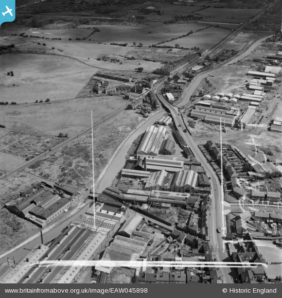
EAW045898 ENGLAND (1952). Factories between Dudley Road West and the Birmingham Canal Wolverhampton Level, Tividale, 1952. This image was marked by Aerofilms Ltd for photo editing.
© Hawlfraint cyfranwyr OpenStreetMap a thrwyddedwyd gan yr OpenStreetMap Foundation. 2026. Trwyddedir y gartograffeg fel CC BY-SA.
Delweddau cyfagos (10)
EAW045898

EAW045894

EAW045896

EAW045893

EAW045897

EAW045900

EAW045895

EAW045892

EAW045899

EAW029356

Manylion
| Pennawd | [EAW045898] Factories between Dudley Road West and the Birmingham Canal Wolverhampton Level, Tividale, 1952. This image was marked by Aerofilms Ltd for photo editing. |
| Cyfeirnod | EAW045898 |
| Dyddiad | 14-August-1952 |
| Dolen | |
| Enw lle | TIVIDALE |
| Plwyf | |
| Ardal | |
| Gwlad | ENGLAND |
| Dwyreiniad / Gogleddiad | 397161, 290725 |
| Hydred / Lledred | -2.0418392688118, 52.514039365929 |
| Cyfeirnod Grid Cenedlaethol | SO972907 |
Pinnau

DaveT |
Friday 25th of July 2025 01:19:08 PM | |
|
DaveT |
Friday 25th of July 2025 01:16:05 PM | |
|
DaveT |
Friday 25th of July 2025 01:08:32 PM | |
|
Tividale Park Friends |
Sunday 10th of March 2019 11:16:02 PM | |
|
Martin |
Saturday 7th of June 2014 11:39:12 AM |