
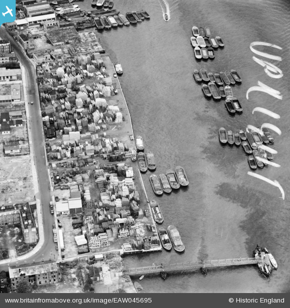
EAW045695 ENGLAND (1952). Trinity and Durand's Wharves, Rotherhithe, 1952. This image was marked by Aerofilms Ltd for photo editing.
© Hawlfraint cyfranwyr OpenStreetMap a thrwyddedwyd gan yr OpenStreetMap Foundation. 2026. Trwyddedir y gartograffeg fel CC BY-SA.
Delweddau cyfagos (9)
EAW045695

EAW045696

EAW045691

EAW045689

EAW045692

EAW045697

EAW045693

EAW045694

EAW045690

Manylion
| Pennawd | [EAW045695] Trinity and Durand's Wharves, Rotherhithe, 1952. This image was marked by Aerofilms Ltd for photo editing. |
| Cyfeirnod | EAW045695 |
| Dyddiad | 31-July-1952 |
| Dolen | |
| Enw lle | ROTHERHITHE |
| Plwyf | |
| Ardal | |
| Gwlad | ENGLAND |
| Dwyreiniad / Gogleddiad | 536687, 179878 |
| Hydred / Lledred | -0.030497480929537, 51.500805673337 |
| Cyfeirnod Grid Cenedlaethol | TQ367799 |
Pinnau

Germander Speedwell |
Sunday 11th of November 2018 07:59:05 PM |