
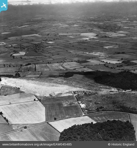
EAW045485 ENGLAND (1952). Prince Wood, Rockingham Wood and the surrounding countryside, Corby, from the south-east, 1952. This image has been produced from a print.
© Hawlfraint cyfranwyr OpenStreetMap a thrwyddedwyd gan yr OpenStreetMap Foundation. 2025. Trwyddedir y gartograffeg fel CC BY-SA.
Delweddau cyfagos (2)
EAW045485

EAW045484A

Manylion
| Pennawd | [EAW045485] Prince Wood, Rockingham Wood and the surrounding countryside, Corby, from the south-east, 1952. This image has been produced from a print. |
| Cyfeirnod | EAW045485 |
| Dyddiad | 6-August-1952 |
| Dolen | |
| Enw lle | CORBY |
| Plwyf | |
| Ardal | |
| Gwlad | ENGLAND |
| Dwyreiniad / Gogleddiad | 488228, 291269 |
| Hydred / Lledred | -0.69979261527636, 52.511795507462 |
| Cyfeirnod Grid Cenedlaethol | SP882913 |
Pinnau

Matt Aldred edob.mattaldred.com |
Sunday 25th of October 2020 08:53:18 PM |