
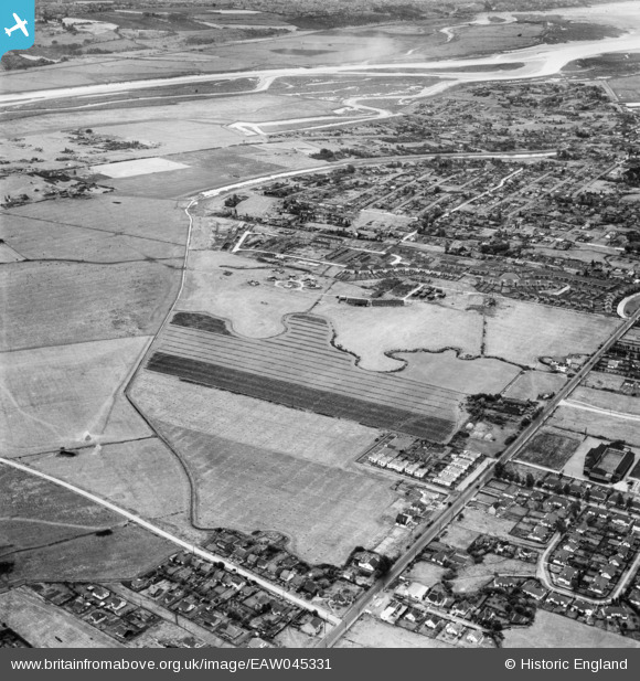
EAW045331 ENGLAND (1952). Long Road and the residential area around The Lake, Canvey Island, 1952
© Hawlfraint cyfranwyr OpenStreetMap a thrwyddedwyd gan yr OpenStreetMap Foundation. 2026. Trwyddedir y gartograffeg fel CC BY-SA.
Delweddau cyfagos (4)
EAW045331

EAW045314

EAW026929

EAW045312

Manylion
| Pennawd | [EAW045331] Long Road and the residential area around The Lake, Canvey Island, 1952 |
| Cyfeirnod | EAW045331 |
| Dyddiad | 2-August-1952 |
| Dolen | |
| Enw lle | CANVEY ISLAND |
| Plwyf | CANVEY ISLAND |
| Ardal | |
| Gwlad | ENGLAND |
| Dwyreiniad / Gogleddiad | 578709, 183591 |
| Hydred / Lledred | 0.57629270969895, 51.522438022417 |
| Cyfeirnod Grid Cenedlaethol | TQ787836 |
Pinnau

tiv |
Sunday 13th of August 2017 04:24:36 PM |