
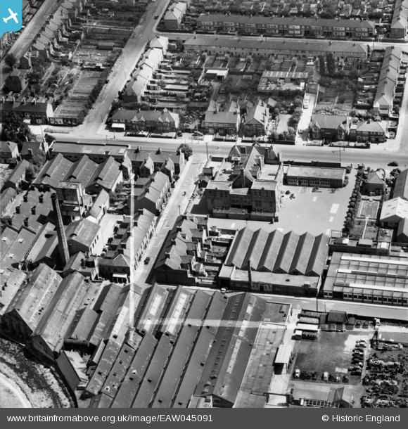
EAW045091 ENGLAND (1952). The Metal Stampings Factory off Disraeli Street and Granby Junior School, Aylestone, 1952. This image was marked by Aerofilms Ltd for photo editing.
© Hawlfraint cyfranwyr OpenStreetMap a thrwyddedwyd gan yr OpenStreetMap Foundation. 2026. Trwyddedir y gartograffeg fel CC BY-SA.
Delweddau cyfagos (16)
EAW045091

EAW045085

EAW045086

EAW045090

EAW045092

EAW045089

EAW045082

EAW045079

EAW045083

EAW045081

EAW045084

EAW045088

EAW045087

EAW045078

EAW045077

EAW045080

Manylion
| Pennawd | [EAW045091] The Metal Stampings Factory off Disraeli Street and Granby Junior School, Aylestone, 1952. This image was marked by Aerofilms Ltd for photo editing. |
| Cyfeirnod | EAW045091 |
| Dyddiad | 22-July-1952 |
| Dolen | |
| Enw lle | AYLESTONE |
| Plwyf | |
| Ardal | |
| Gwlad | ENGLAND |
| Dwyreiniad / Gogleddiad | 457626, 301357 |
| Hydred / Lledred | -1.1489497349535, 52.606580661586 |
| Cyfeirnod Grid Cenedlaethol | SK576014 |
Pinnau

Matt Aldred edob.mattaldred.com |
Thursday 7th of March 2024 04:43:11 PM |