
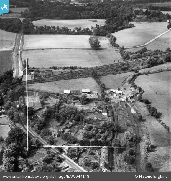
EAW044148 ENGLAND (1952). The area between Mill Lane and Mutlow Hill, Wendens Ambo, 1952. This image was marked by Aerofilms Ltd for photo editing.
© Hawlfraint cyfranwyr OpenStreetMap a thrwyddedwyd gan yr OpenStreetMap Foundation. 2026. Trwyddedir y gartograffeg fel CC BY-SA.
Delweddau cyfagos (3)
EAW044148

EAW044147

EAW044146

Manylion
| Pennawd | [EAW044148] The area between Mill Lane and Mutlow Hill, Wendens Ambo, 1952. This image was marked by Aerofilms Ltd for photo editing. |
| Cyfeirnod | EAW044148 |
| Dyddiad | 16-June-1952 |
| Dolen | |
| Enw lle | WENDENS AMBO |
| Plwyf | WENDENS AMBO |
| Ardal | |
| Gwlad | ENGLAND |
| Dwyreiniad / Gogleddiad | 551984, 236479 |
| Hydred / Lledred | 0.21449554465459, 52.005485980123 |
| Cyfeirnod Grid Cenedlaethol | TL520365 |
Pinnau

Matt Aldred edob.mattaldred.com |
Sunday 25th of October 2020 08:35:31 PM | |
|
Matt Aldred edob.mattaldred.com |
Sunday 12th of April 2020 12:40:47 PM | |

jrussill |
Saturday 13th of December 2014 07:58:57 PM | |
|
jrussill |
Saturday 13th of December 2014 07:56:38 PM |
Cyfraniadau Grŵp

WW2 Pillboxes |
jrussill |
Saturday 13th of December 2014 08:02:23 PM |