
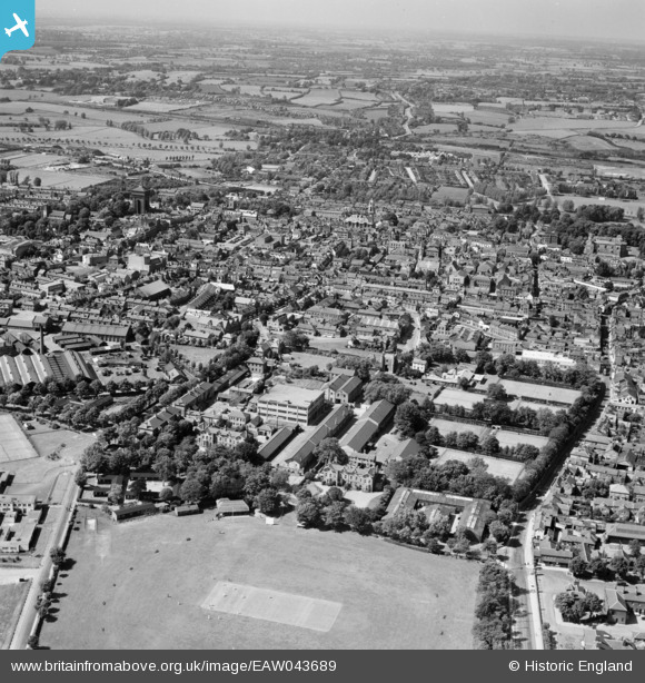
EAW043689 ENGLAND (1952). The site of the Benedictine Abbey of St John and the town, Colchester, from the south, 1952
© Hawlfraint cyfranwyr OpenStreetMap a thrwyddedwyd gan yr OpenStreetMap Foundation. 2026. Trwyddedir y gartograffeg fel CC BY-SA.
Delweddau cyfagos (5)
EAW043689

EAW043690

EPW001859

EPW018554

EAW024676

Manylion
| Pennawd | [EAW043689] The site of the Benedictine Abbey of St John and the town, Colchester, from the south, 1952 |
| Cyfeirnod | EAW043689 |
| Dyddiad | 4-June-1952 |
| Dolen | |
| Enw lle | COLCHESTER |
| Plwyf | |
| Ardal | |
| Gwlad | ENGLAND |
| Dwyreiniad / Gogleddiad | 599780, 224548 |
| Hydred / Lledred | 0.90312666494025, 51.883202717571 |
| Cyfeirnod Grid Cenedlaethol | TL998245 |
