
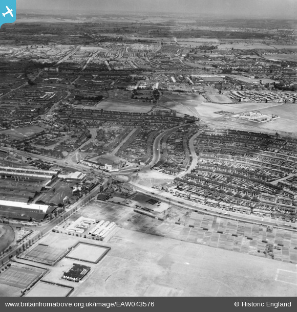
EAW043576 ENGLAND (1952). Kent Avenue, New Road and the Old Dagenham Park area, Dagenham, from the south-east, 1952
© Hawlfraint cyfranwyr OpenStreetMap a thrwyddedwyd gan yr OpenStreetMap Foundation. 2026. Trwyddedir y gartograffeg fel CC BY-SA.
Delweddau cyfagos (5)
EAW043576

EAW043575

EAW052715

EAW052716

EAW052719

Manylion
| Pennawd | [EAW043576] Kent Avenue, New Road and the Old Dagenham Park area, Dagenham, from the south-east, 1952 |
| Cyfeirnod | EAW043576 |
| Dyddiad | 4-June-1952 |
| Dolen | |
| Enw lle | DAGENHAM |
| Plwyf | |
| Ardal | |
| Gwlad | ENGLAND |
| Dwyreiniad / Gogleddiad | 549623, 183196 |
| Hydred / Lledred | 0.15716805941938, 51.527344976739 |
| Cyfeirnod Grid Cenedlaethol | TQ496832 |
