
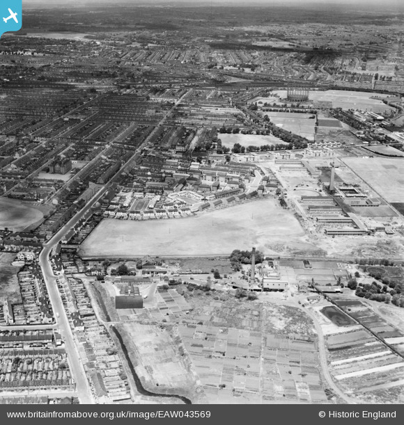
EAW043569 ENGLAND (1952). Playing Fields next to Burges Manor and Thomas Lethaby Schools and environs, Wallend, from the south-east, 1952
© Hawlfraint cyfranwyr OpenStreetMap a thrwyddedwyd gan yr OpenStreetMap Foundation. 2026. Trwyddedir y gartograffeg fel CC BY-SA.
Delweddau cyfagos (10)
EAW043569

EAW026382

EAW026387

EAW026380

EAW026383

EAW026379
, East Ham, 1949. This image has been produced from a damaged negative.")
EAW026381

EAW026386

EAW026388

EAW026384

Manylion
| Pennawd | [EAW043569] Playing Fields next to Burges Manor and Thomas Lethaby Schools and environs, Wallend, from the south-east, 1952 |
| Cyfeirnod | EAW043569 |
| Dyddiad | 4-June-1952 |
| Dolen | |
| Enw lle | WALLEND |
| Plwyf | |
| Ardal | |
| Gwlad | ENGLAND |
| Dwyreiniad / Gogleddiad | 543522, 183120 |
| Hydred / Lledred | 0.06923982462474, 51.528245858388 |
| Cyfeirnod Grid Cenedlaethol | TQ435831 |
Pinnau

Eric |
Wednesday 3rd of September 2014 07:59:39 PM |