
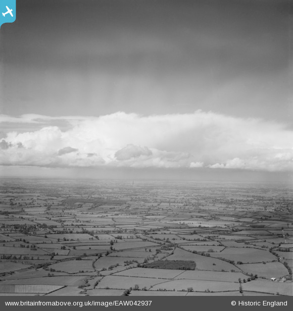
EAW042937 ENGLAND (1952). Cloudscape, Knightcote, from the east, 1952
© Hawlfraint cyfranwyr OpenStreetMap a thrwyddedwyd gan yr OpenStreetMap Foundation. 2026. Trwyddedir y gartograffeg fel CC BY-SA.
Delweddau cyfagos (2)
EAW042937

EAW042942

Manylion
| Pennawd | [EAW042937] Cloudscape, Knightcote, from the east, 1952 |
| Cyfeirnod | EAW042937 |
| Dyddiad | 5-July-1952 |
| Dolen | |
| Enw lle | KNIGHTCOTE |
| Plwyf | BURTON DASSETT |
| Ardal | |
| Gwlad | ENGLAND |
| Dwyreiniad / Gogleddiad | 441372, 254791 |
| Hydred / Lledred | -1.3947351684944, 52.189404569631 |
| Cyfeirnod Grid Cenedlaethol | SP414548 |
Pinnau

Class31 |
Sunday 27th of April 2014 11:28:14 AM | |
|
Class31 |
Sunday 27th of April 2014 11:27:31 AM | |
|
Class31 |
Sunday 27th of April 2014 11:26:34 AM | |
|
Class31 |
Sunday 27th of April 2014 11:24:40 AM | |
|
Class31 |
Sunday 27th of April 2014 11:23:10 AM | |
|
Class31 |
Sunday 27th of April 2014 11:22:26 AM |
Cyfraniadau Grŵp
Hi CLass31, you may like to know that the original Aerofilms Ltd Register entries for this group read "Cumulus nimbus"...We’ll update the catalogue with the new location data and post the revised record here in due course. Yours, Katy Britain from Above Cataloguing Team Leader |
Katy Whitaker |
Tuesday 29th of April 2014 04:15:04 PM |
It was going to rain then! |
Class31 |
Tuesday 29th of April 2014 04:15:04 PM |
Looking about north west. |
Class31 |
Sunday 27th of April 2014 11:25:45 AM |
series EAW042936 - EAW042942 |

TomRobin |
Sunday 27th of April 2014 08:42:32 AM |