
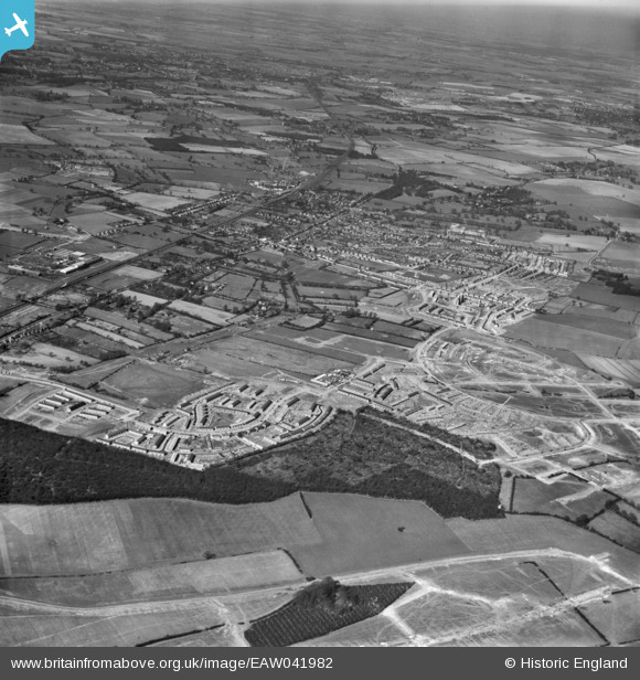
EAW041982 ENGLAND (1952). The town and surrounding housing development, Stevenage, from the south-east, 1952
© Hawlfraint cyfranwyr OpenStreetMap a thrwyddedwyd gan yr OpenStreetMap Foundation. 2026. Trwyddedir y gartograffeg fel CC BY-SA.
Delweddau cyfagos (3)
EAW041982

EAW047269

EAW041984

Manylion
| Pennawd | [EAW041982] The town and surrounding housing development, Stevenage, from the south-east, 1952 |
| Cyfeirnod | EAW041982 |
| Dyddiad | 14-March-1952 |
| Dolen | |
| Enw lle | STEVENAGE |
| Plwyf | |
| Ardal | |
| Gwlad | ENGLAND |
| Dwyreiniad / Gogleddiad | 524682, 223455 |
| Hydred / Lledred | -0.18779698633724, 51.895240613526 |
| Cyfeirnod Grid Cenedlaethol | TL247235 |
Pinnau
Byddwch y cyntaf i ychwanegu sylw at y ddelwedd hon!