
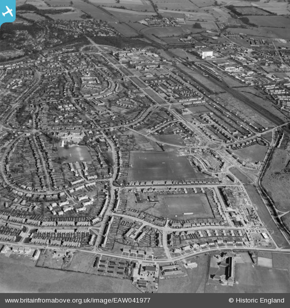
EAW041977 ENGLAND (1952). The Handside neighbourhood, Handside, 1952
© Hawlfraint cyfranwyr OpenStreetMap a thrwyddedwyd gan yr OpenStreetMap Foundation. 2026. Trwyddedir y gartograffeg fel CC BY-SA.
Delweddau cyfagos (7)
EAW041977

EPW047375

EAW035462

EPW047378

EPW009817

EPW025530

EPW054508
, Handside, 1937")
Manylion
| Pennawd | [EAW041977] The Handside neighbourhood, Handside, 1952 |
| Cyfeirnod | EAW041977 |
| Dyddiad | 14-March-1952 |
| Dolen | |
| Enw lle | HANDSIDE |
| Plwyf | |
| Ardal | |
| Gwlad | ENGLAND |
| Dwyreiniad / Gogleddiad | 523140, 212269 |
| Hydred / Lledred | -0.21418148070676, 51.795048266271 |
| Cyfeirnod Grid Cenedlaethol | TL231123 |
Pinnau

stephen dearman |
Sunday 11th of January 2015 01:10:34 PM | |
 |
Merlin1993 |
Monday 4th of August 2014 08:37:40 PM |
|
Merlin1993 |
Monday 4th of August 2014 07:36:14 PM |