
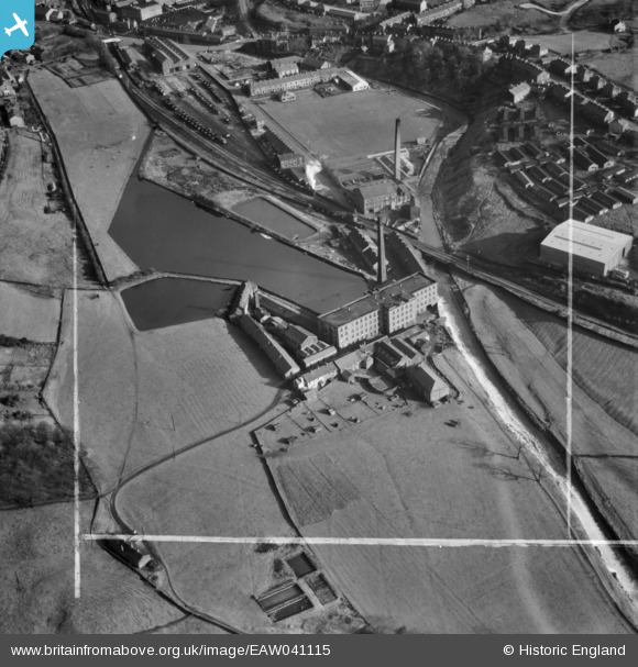
EAW041115 ENGLAND (1951). New Hall Hey Mills, New Hall Hey, 1951. This image was marked by Aerofilms Ltd for photo editing.
© Hawlfraint cyfranwyr OpenStreetMap a thrwyddedwyd gan yr OpenStreetMap Foundation. 2026. Trwyddedir y gartograffeg fel CC BY-SA.
Delweddau cyfagos (8)
EAW041115

EAW041117

EAW041114

EAW041116

EAW041118

EAW041120

EAW041119

EAW041121

Manylion
| Pennawd | [EAW041115] New Hall Hey Mills, New Hall Hey, 1951. This image was marked by Aerofilms Ltd for photo editing. |
| Cyfeirnod | EAW041115 |
| Dyddiad | 31-October-1951 |
| Dolen | |
| Enw lle | NEW HALL HEY |
| Plwyf | |
| Ardal | |
| Gwlad | ENGLAND |
| Dwyreiniad / Gogleddiad | 380435, 422344 |
| Hydred / Lledred | -2.2963573916204, 53.696942684123 |
| Cyfeirnod Grid Cenedlaethol | SD804223 |
