
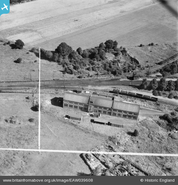
EAW039608 ENGLAND (1951). The William Booth Ltd Silk Works, Poynton, 1951. This image was marked by Aerofilms Ltd for photo editing.
© Hawlfraint cyfranwyr OpenStreetMap a thrwyddedwyd gan yr OpenStreetMap Foundation. 2026. Trwyddedir y gartograffeg fel CC BY-SA.
Delweddau cyfagos (7)
EAW039608

EAW039605

EAW039603

EAW039606

EAW039602

EAW039604

EAW039607

Manylion
| Pennawd | [EAW039608] The William Booth Ltd Silk Works, Poynton, 1951. This image was marked by Aerofilms Ltd for photo editing. |
| Cyfeirnod | EAW039608 |
| Dyddiad | 9-September-1951 |
| Dolen | |
| Enw lle | POYNTON |
| Plwyf | POYNTON-WITH-WORTH |
| Ardal | |
| Gwlad | ENGLAND |
| Dwyreiniad / Gogleddiad | 391060, 383802 |
| Hydred / Lledred | -2.1343173531657, 53.350763229375 |
| Cyfeirnod Grid Cenedlaethol | SJ911838 |
