
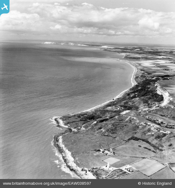
EAW038597 ENGLAND (1951). Watershoot Bay and Chale Bay, St Catherine's Point, from the south-east, 1951. This image has been produced from a print.
© Hawlfraint cyfranwyr OpenStreetMap a thrwyddedwyd gan yr OpenStreetMap Foundation. 2026. Trwyddedir y gartograffeg fel CC BY-SA.
Delweddau cyfagos (2)
EAW038597

EAW038599

Manylion
| Pennawd | [EAW038597] Watershoot Bay and Chale Bay, St Catherine's Point, from the south-east, 1951. This image has been produced from a print. |
| Cyfeirnod | EAW038597 |
| Dyddiad | 13-August-1951 |
| Dolen | |
| Enw lle | ST CATHERINE'S POINT |
| Plwyf | NITON AND WHITWELL |
| Ardal | |
| Gwlad | ENGLAND |
| Dwyreiniad / Gogleddiad | 449443, 75468 |
| Hydred / Lledred | -1.3016492611785, 50.576268070754 |
| Cyfeirnod Grid Cenedlaethol | SZ494755 |


