
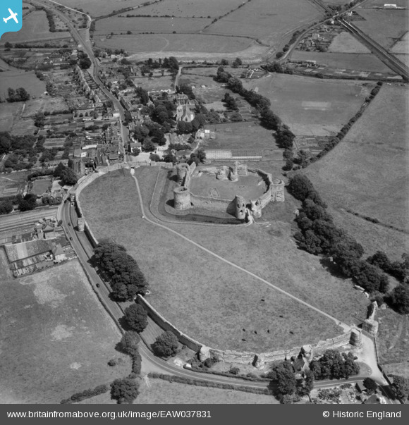
EAW037831 ENGLAND (1951). Pevensey Castle, Pevensey, 1951
© Hawlfraint cyfranwyr OpenStreetMap a thrwyddedwyd gan yr OpenStreetMap Foundation. 2026. Trwyddedir y gartograffeg fel CC BY-SA.
Delweddau cyfagos (17)
EAW037831

EPW051356

EAW037830

EPW051350

EAW014354

EPW035328

EAW014356

EAW014358

EAW014357

EAW014355

EPW051353

EAW014353

EPW051351

EPW035326

EPW051349

EPW035325

EPW051354

Manylion
| Pennawd | [EAW037831] Pevensey Castle, Pevensey, 1951 |
| Cyfeirnod | EAW037831 |
| Dyddiad | 17-July-1951 |
| Dolen | |
| Enw lle | PEVENSEY |
| Plwyf | PEVENSEY |
| Ardal | |
| Gwlad | ENGLAND |
| Dwyreiniad / Gogleddiad | 564484, 104791 |
| Hydred / Lledred | 0.33535823696404, 50.818709608633 |
| Cyfeirnod Grid Cenedlaethol | TQ645048 |
Pinnau

redmist |
Saturday 9th of April 2022 10:43:38 PM | |
|
redmist |
Saturday 9th of April 2022 10:40:51 PM | |
|
redmist |
Saturday 9th of April 2022 10:34:35 PM | |

Alan McFaden |
Saturday 26th of April 2014 06:13:58 PM | |
|
Alan McFaden |
Saturday 26th of April 2014 06:13:06 PM | |
|
Alan McFaden |
Saturday 26th of April 2014 06:12:02 PM | |
|
Alan McFaden |
Saturday 26th of April 2014 06:10:46 PM | |
|
Alan McFaden |
Saturday 26th of April 2014 06:09:54 PM | |
|
Alan McFaden |
Saturday 26th of April 2014 06:09:21 PM |


