
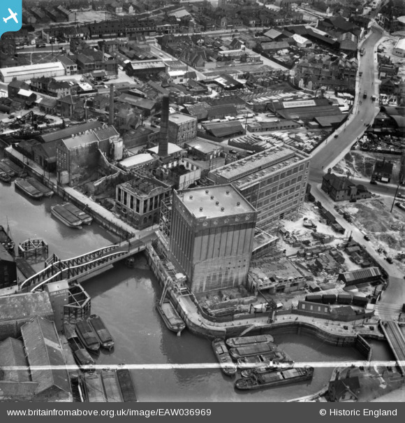
EAW036969 ENGLAND (1951). Joseph Rank Ltd Clarence Corn Mills, Kingston upon Hull, 1951. This image has been produced from a print marked by Aerofilms Ltd for photo editing.
© Hawlfraint cyfranwyr OpenStreetMap a thrwyddedwyd gan yr OpenStreetMap Foundation. 2026. Trwyddedir y gartograffeg fel CC BY-SA.
Delweddau cyfagos (18)
EAW036969

EAW036965

EAW036971

EAW036861

EAW036968

EPW012700

EAW036967

EAW036966

EAW036963

EAW036973

EAW036962

EAW036970

EPW009378

EAW046137

EAW036972

EAW036964

EPW036505

EAW015646

Manylion
| Pennawd | [EAW036969] Joseph Rank Ltd Clarence Corn Mills, Kingston upon Hull, 1951. This image has been produced from a print marked by Aerofilms Ltd for photo editing. |
| Cyfeirnod | EAW036969 |
| Dyddiad | 7-June-1951 |
| Dolen | |
| Enw lle | KINGSTON UPON HULL |
| Plwyf | |
| Ardal | |
| Gwlad | ENGLAND |
| Dwyreiniad / Gogleddiad | 510387, 428944 |
| Hydred / Lledred | -0.32595800083365, 53.744946579748 |
| Cyfeirnod Grid Cenedlaethol | TA104289 |
Pinnau

John Wass |
Friday 27th of February 2015 08:42:31 PM | |
|
CartoonHead |
Sunday 23rd of November 2014 08:53:25 PM |
